Transport Functions
Multimodal
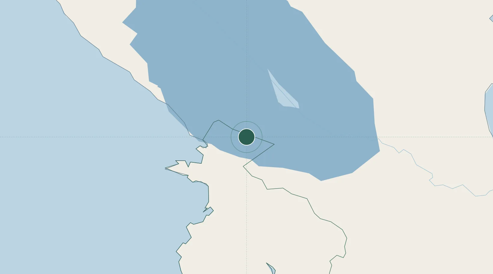
Hub Profile
Place type
Populated place
Region
Guanacaste Province
Time zone
America/Costa_Rica
Elevation
342 m
Location
Nearby Logistics Neighbours
Cities
- 1Guardia63 km
- 2Golfo de Papagayo63 km
- 3Bagaces66 km
- 4Ciruelas67 km
- 5Tola67 km
Ports
- 1Puntarenas140 km
- 2Puerto Caldera152 km
- 3Puerto Sandino190 km
- 4Bluefields208 km
- 5El Bluff212 km
Airports
- 1Upala Airport49 km
- 2Omtepe Airport57 km
- 3Daniel Oduber Quirós International Airport58 km
- 4Los Chiles Airport78 km
- 5La Fortuna Arenal Airport115 km
Trade Zones
DatabookThe Record of Consolidated Knowledge
Costa Rica beyond logistics?