Export Processing Zone · Nicaragua

Zona Franca Nicaragua Active
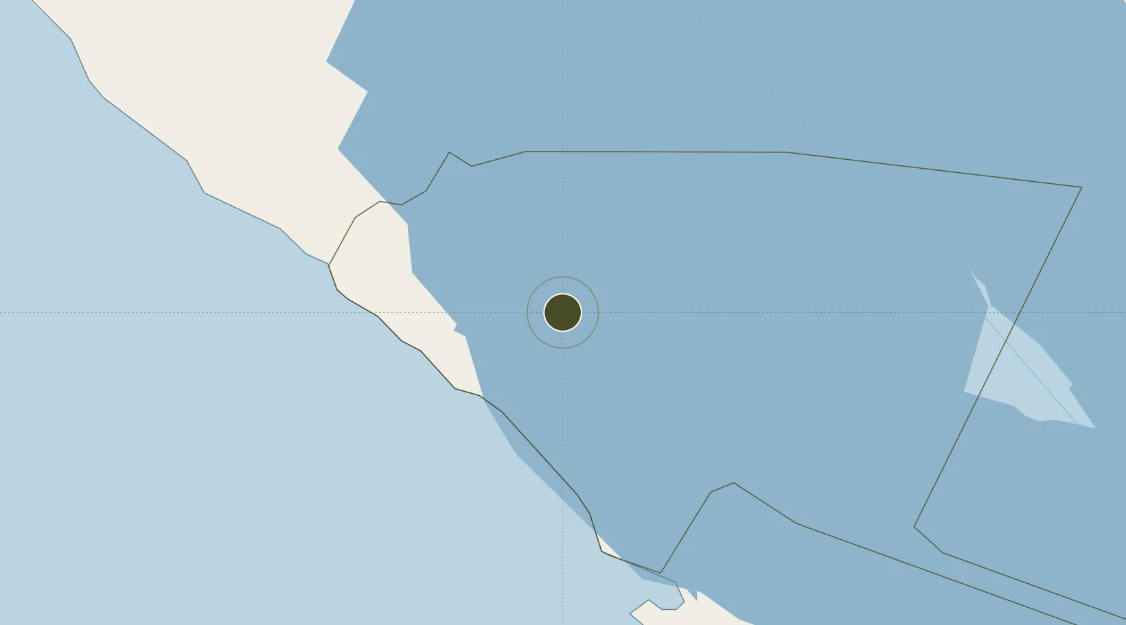
11.4525°, -85.8413°
5 ha
Zone area
129.4 km
Nearest port
17.0 km
Nearest airport

Gateway access

Nearest neighbours — logibook spatial index (haversine) over the source coordinates

Zone profile

Zone type
Export Processing Zone
Open Zone Map
Region
Rivas
Open Zone Map
Status
Active
Open Zone Map
Management
Private
Open Zone Map
Operator
Gildan Activewear Properties (Nicaragua), SA
Open Zone Map
Legal framework
The Free Trade Zone Law – Law 917
Open Zone Map

Location

Location of ozm-2918
Natural Earth 10m (public domain) · Rivas · ozm-2918 · 11.45, -85.84GoogleOSMYandex

Nearby Logistics Neighbours

Ports
  1. 1Puerto Sandino129 km
  2. 2Corinto184 km
  3. 3Puntarenas197 km
  4. 4Puerto Caldera210 km
  5. 5Bluefields236 km
Nearest neighbours — logibook spatial index (haversine) over the source coordinates
Airports
  1. 1Omtepe Airport17 km
  2. 2Augusto C. Sandino (Managua) International Airport85 km
  3. 3Daniel Oduber Quirós International Airport101 km
  4. 4Upala Airport110 km
  5. 5Los Chiles Airport132 km
Nearest neighbours — logibook spatial index (haversine) over the source coordinates
Cities
  1. 1Tola10 km
  2. 2Jinotepe59 km
  3. 3Santa Cecilia61 km
  4. 4Diriamba62 km
  5. 5Malacatoya78 km
Nearest neighbours — logibook spatial index (haversine) over the source coordinates
Trade Zones
  1. 1Zona Franca Industrial Niquinohomo, SA57 km
  2. 2Inversiones Amerricuas, SA (Nicaraguan Eco-Industrial Park)61 km
  3. 3Zona Franca Las Palmeras62 km
  4. 4Zona Franca San Gabriel66 km
  5. 5Cupid Free Trade Zone66 km
Nearest neighbours — logibook spatial index (haversine) over the source coordinates
DatabookThe Record of Consolidated Knowledge
Nicaragua beyond logistics?
Browse databook

All Sources

Trade ZonesOpen Zone Map
CC BY
Portsthe NGA World Port Index
Public domain (US gov)
AirportsOurAirports
Public domain
LocationsUN/LOCODE
UN/LOCODE — free
← Nicaragua trade zones