Export Processing Zone · Nigeria

Living Spring Free Trade Zone Inactive
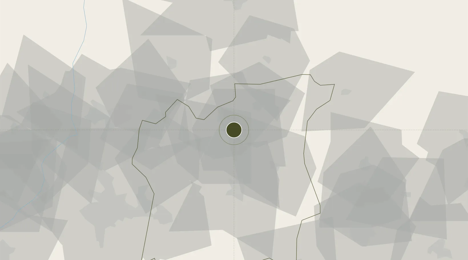
7.7989°, 4.5523°
1,607 ha
Zone area
200.9 km
Nearest port
71.6 km
Nearest airport

Gateway access

Nearest neighbours — logibook spatial index (haversine) over the source coordinates

Zone profile

Zone type
Export Processing Zone
Open Zone Map
Region
Osun
Open Zone Map
Status
Inactive
Open Zone Map
Management
Public
Open Zone Map
Operator
Nigerian Export Processing Zones Authority
Open Zone Map
Legal framework
Section 10 (4) of the Nigeria Export Processing Zones Act No 63 of 1992
Open Zone Map

Location

Location of ozm-2968
Natural Earth 10m (public domain) · Osun · ozm-2968 · 7.80, 4.55GoogleOSMYandex

Nearby Logistics Neighbours

Ports
  1. 1Lagos201 km
  2. 2Tin Can Island209 km
  3. 3Koko224 km
  4. 4Ukpokiti Marine Terminal232 km
  5. 5Sapele245 km
Nearest neighbours — logibook spatial index (haversine) over the source coordinates
Airports
  1. 1General Tunde Idiagbon International Airport72 km
  2. 2Ibadan Airport80 km
  3. 3Akure Airport103 km
  4. 4Murtala Muhammed International Airport192 km
  5. 5Benin Airport201 km
Nearest neighbours — logibook spatial index (haversine) over the source coordinates
Cities
  1. 1Osogbo4 km
  2. 2Idi Oro30 km
  3. 3Alaba64 km
  4. 4Egbeda73 km
  5. 5Balogun80 km
Nearest neighbours — logibook spatial index (haversine) over the source coordinates
Trade Zones
  1. 1Oluyole Free Trade Zone92 km
  2. 2Kajola Specialized Railway Industrial Free Zone120 km
  3. 3Ore Industrial Park (Ondo Industrial City)121 km
  4. 4Ogun Guangdong Free Trade Zone151 km
  5. 5Olokola Free Trade Zone157 km
Nearest neighbours — logibook spatial index (haversine) over the source coordinates
DatabookThe Record of Consolidated Knowledge
Nigeria beyond logistics?
Browse databook

All Sources

Trade ZonesOpen Zone Map
CC BY
Portsthe NGA World Port Index
Public domain (US gov)
AirportsOurAirports
Public domain
LocationsUN/LOCODE
UN/LOCODE — free
← Nigeria trade zones