Large airport · Nigeria

General Tunde Idiagbon International AirportDNIL
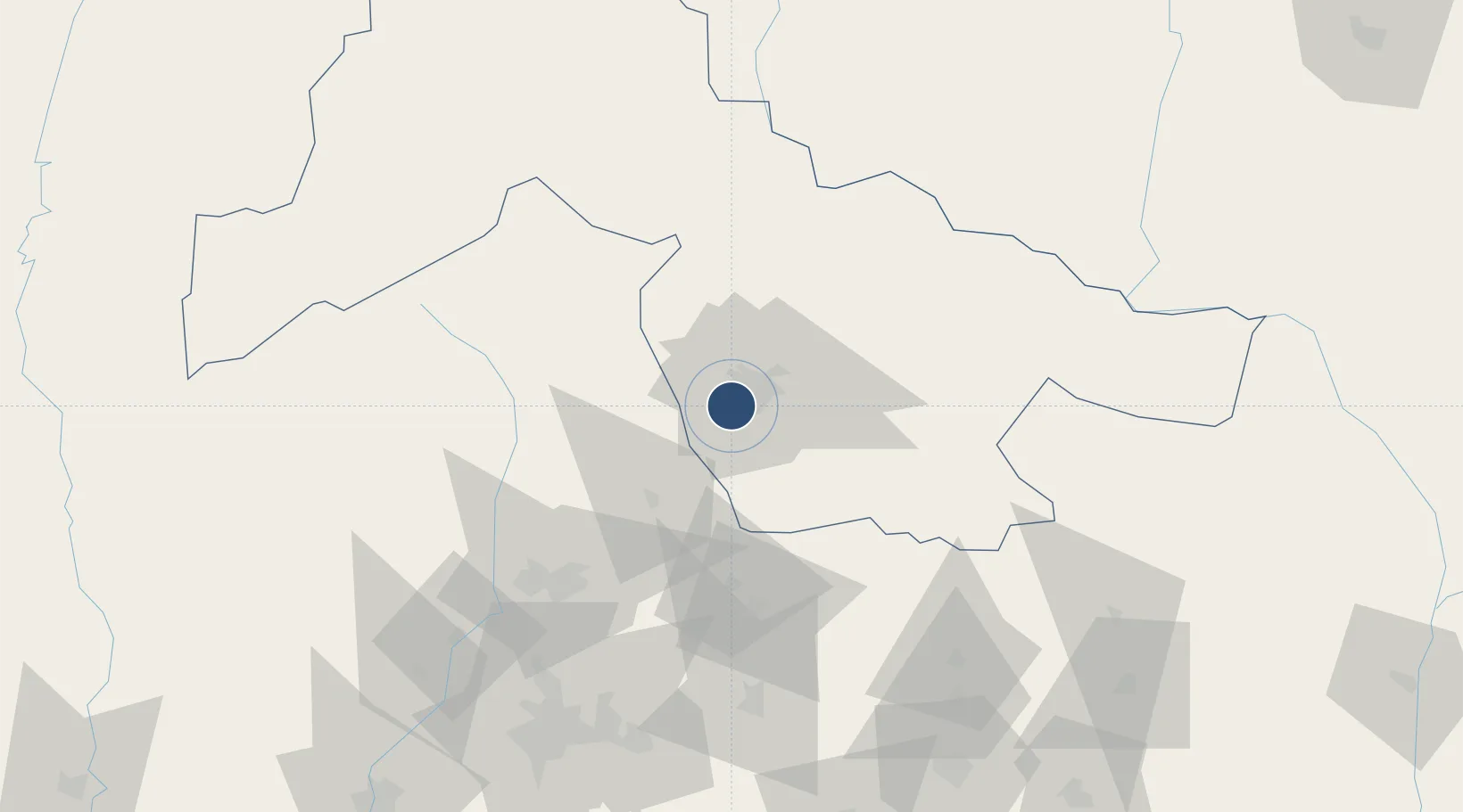
8.4402°, 4.4939°
10,169 ft
Longest runway
1
Runways
1,126 ft
Elevation

Runway & Layout

General Tunde Idiagbon International Airport runway & taxiway layout
Runway & taxiway layout — OpenStreetMap (ODbL) / OurAirports

Radio Frequencies

TWR
121.2 MHz
APP
121.2 MHz
OurAirports

Navaids

IL VOR-DME Ilorin 112.30 MHz
OurAirports

Runways · 1

RunwayDimensions SurfaceTrue headingLit
05/23 10,169 × 197ft Asphalt 049°
OurAirports

Airport Specifications

IATA code
ILR
OurAirports
ICAO code
DNIL
OurAirports
Airport class
Large airport
OurAirports
Scheduled service
Yes
OurAirports
Runway surface
Asphalt
OurAirports
Served city
Ilorin/Ogbomosho
OurAirports

Location

Location of DNIL
Natural Earth 10m (public domain) · Kwara · DNIL · 8.44, 4.49GoogleOSMYandex

Nearby Logistics Neighbours

Airports
  1. 1Ibadan Airport133 km
  2. 2Akure Airport160 km
  3. 3Tourou International Airport243 km
  4. 4Murtala Muhammed International Airport244 km
  5. 5Minna Airport255 km
Nearest neighbours — logibook spatial index (haversine) over the source coordinates
Cities
  1. 1Ogidi9 km
  2. 2Osogbo75 km
  3. 3Idi Oro78 km
  4. 4Balogun94 km
  5. 5Ogudu102 km
Nearest neighbours — logibook spatial index (haversine) over the source coordinates
Ports
  1. 1Lagos257 km
  2. 2Tin Can Island264 km
  3. 3Koko292 km
  4. 4Ukpokiti Marine Terminal303 km
  5. 5Sapele311 km
Nearest neighbours — logibook spatial index (haversine) over the source coordinates
Trade Zones
  1. 1Living Spring Free Trade Zone72 km
  2. 2Oluyole Free Trade Zone140 km
  3. 3Ogun Guangdong Free Trade Zone190 km
  4. 4Kajola Specialized Railway Industrial Free Zone191 km
  5. 5Ore Industrial Park (Ondo Industrial City)192 km
Nearest neighbours — logibook spatial index (haversine) over the source coordinates
DatabookThe Record of Consolidated Knowledge
Nigeria beyond logistics?
Browse databook

All Sources

AirportsOurAirports
Public domain
Portsthe NGA World Port Index
Public domain (US gov)
LocationsUN/LOCODE
UN/LOCODE — free
Trade Zonesthe World Bank SEZ database
CC BY 4.0
Trade ZonesOpen Zone Map
CC BY
InfrastructureOpenStreetMap
ODbL 1.0
← Nigeria airports