UN/LOCODE hub · Nigeria
NGTIN

Tincan/Lagos

6.4505°, 3.3513°
1
Transport functions
4
Container terminals

Transport Functions

Port
Tincan/Lagos is also a profiled seaport →
UN/LOCODE

Hub Profile

Logistics facilities
14
UN/LOCODE
Container terminals
4
UN/LOCODE

Location

Location of NGTIN
Natural Earth 10m (public domain) · Lagos · NGTIN · 6.45, 3.35GoogleOSMYandex

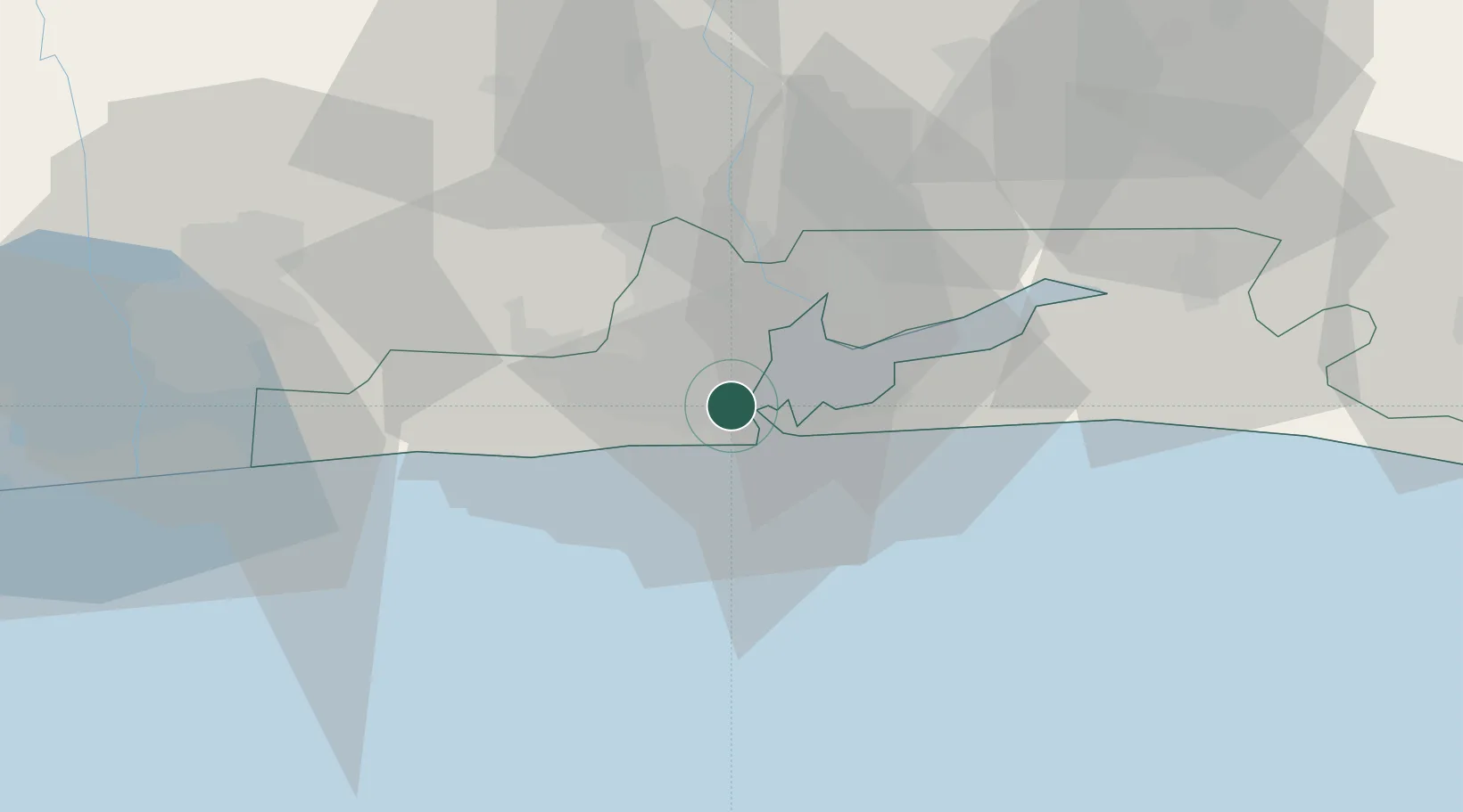
Nearby Logistics Neighbours

Cities
  1. 1Lagos2 km
  2. 2Apapa5 km
  3. 3Mushin7 km
  4. 4Agboju8 km
  5. 5Falomo9 km
Nearest neighbours — logibook spatial index (haversine) over the source coordinates
Ports
  1. 1Lagos8 km
  2. 2Cotonou102 km
  3. 3Ukpokiti Marine Terminal182 km
  4. 4Kpeme205 km
  5. 5Escravos Oil Terminal211 km
Nearest neighbours — logibook spatial index (haversine) over the source coordinates
Airports
  1. 1Murtala Muhammed International Airport15 km
  2. 2Cotonou Cadjehoun International Airport107 km
  3. 3Ibadan Airport123 km
  4. 4Akure Airport233 km
  5. 5Lomé–Tokoin International Airport234 km
Nearest neighbours — logibook spatial index (haversine) over the source coordinates
Trade Zones
  1. 1Tomaro Industrial Park2 km
  2. 2Nigerdock Free Zone3 km
  3. 3Snake Island Integrated Free Zone3 km
  4. 4Ladol Logistics Free Zone5 km
  5. 5Eko Support Free Zone5 km
Nearest neighbours — logibook spatial index (haversine) over the source coordinates
DatabookThe Record of Consolidated Knowledge
Nigeria beyond logistics?
Browse databook

All Sources

LocationsUN/LOCODE
UN/LOCODE — free
Portsthe NGA World Port Index
Public domain (US gov)
AirportsOurAirports
Public domain
Trade Zonesthe World Bank SEZ database
CC BY 4.0
Trade ZonesOpen Zone Map
CC BY
← Nigeria locations