UN/LOCODE hub · Mozambique
MZBEW
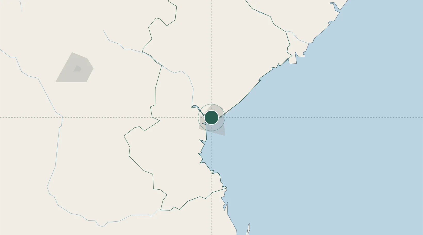
Beira
-19.7847°, 34.8576°
687,764
Population
3
Transport functions
1
Container terminals
Transport Functions
Port
Airport
Postal
Hub Profile
Place type
Regional capital
Region
Sofala
Population
687,764
Time zone
Africa/Maputo
Elevation
6 m
Logistics facilities
18
Container terminals
1
Location
Nearby Logistics Neighbours
Cities
- 1Chimanimani208 km
- 2Mutare246 km
- 3Rusape320 km
- 4Chiredzi361 km
- 5Mutoko384 km
Ports
- 1Chinde219 km
- 2Quelimane300 km
- 3Porto Belo337 km
- 4Pebane446 km
- 5Inhambane463 km
Airports
- 1Beira International Airport5 km
- 2Chimoio Airport166 km
- 3Bazaruto Island Airport206 km
- 4Indigo Bay Lodge Airport223 km
- 5Benguera Island Airport238 km
Trade Zones
DatabookThe Record of Consolidated Knowledge
Mozambique beyond logistics?