Runway & Layout

Airport Specifications
IATA code
IBL
Airport class
Medium airport
Scheduled service
No
Served city
Bazaruto Island
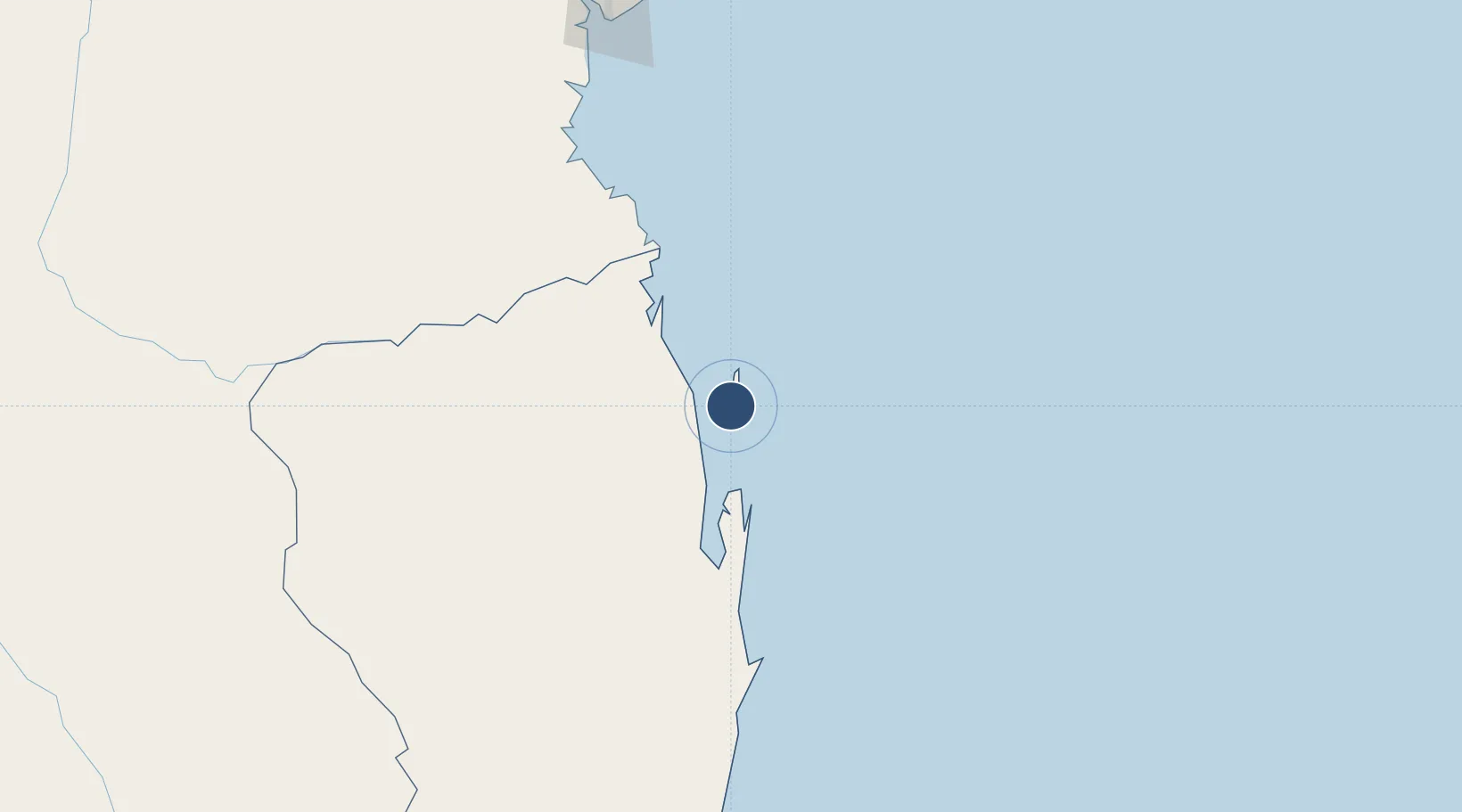
Location
Nearby Logistics Neighbours
Airports
- 1Benguera Island Airport16 km
- 2Bazaruto Island Airport19 km
- 3Vilankulo Airport37 km
- 4Beira International Airport220 km
- 5Inhambane Airport241 km
Cities
- 1Beira223 km
- 2Chimanimani343 km
- 3Chiredzi399 km
- 4Chokwé403 km
- 5Mutare420 km
Ports
- 1Beira218 km
- 2Inhambane246 km
- 3Chinde366 km
- 4Quelimane451 km
- 5Porto Belo481 km
Trade Zones
DatabookThe Record of Consolidated Knowledge
Mozambique beyond logistics?