Medium airport · Mozambique

Benguera Island AirportBCW

-21.8533°, 35.4383°

Runway & Layout

Benguera Island Airport runway & taxiway layout
Runway & taxiway layout — OpenStreetMap (ODbL) / OurAirports

Airport Specifications
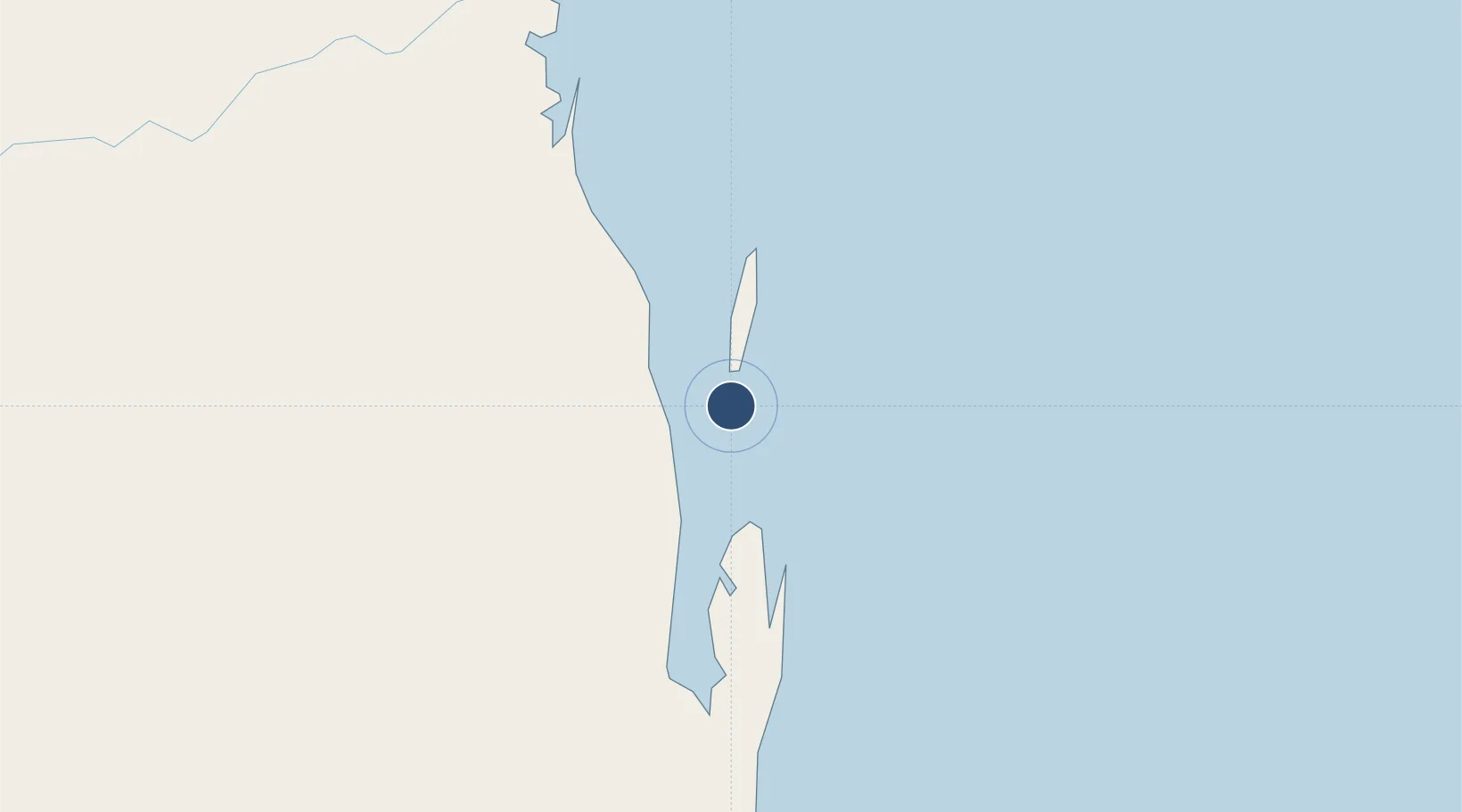
IATA code
BCW
OurAirports
Airport class
Medium airport
OurAirports
Scheduled service
No
OurAirports
Served city
Benguera Island
OurAirports

Location

Location of BCW
Natural Earth 10m (public domain) · Inhambane · BCW · -21.85, 35.44GoogleOSMYandex

Nearby Logistics Neighbours

Airports
  1. 1Indigo Bay Lodge Airport16 km
  2. 2Vilankulo Airport22 km
  3. 3Bazaruto Island Airport35 km
  4. 4Inhambane Airport225 km
  5. 5Beira International Airport235 km
Nearest neighbours — logibook spatial index (haversine) over the source coordinates
Cities
  1. 1Beira238 km
  2. 2Chimanimani352 km
  3. 3Chokwé390 km
  4. 4Chiredzi400 km
  5. 5Mutare430 km
Nearest neighbours — logibook spatial index (haversine) over the source coordinates
Ports
  1. 1Inhambane230 km
  2. 2Beira233 km
  3. 3Chinde382 km
  4. 4Quelimane467 km
  5. 5Porto Belo497 km
Nearest neighbours — logibook spatial index (haversine) over the source coordinates
Trade Zones
  1. 1Manga-Mungassa Special Economic Zone236 km
  2. 2Manga-Mungassa (Beira) Special Economic Zone242 km
  3. 3Fern Hill Special Economic Zone434 km
  4. 4MCM Industrias Texteis Industrial Free Zone517 km
  5. 5Belulane Industrial Park535 km
Nearest neighbours — logibook spatial index (haversine) over the source coordinates
DatabookThe Record of Consolidated Knowledge
Mozambique beyond logistics?
Browse databook

All Sources

AirportsOurAirports
Public domain
Portsthe NGA World Port Index
Public domain (US gov)
LocationsUN/LOCODE
UN/LOCODE — free
Trade Zonesthe World Bank SEZ database
CC BY 4.0
Trade ZonesOpen Zone Map
CC BY
InfrastructureOpenStreetMap
ODbL 1.0
← Mozambique airports