Export Processing Zone · Zimbabwe

Ecosoft Special Economic Zone Active
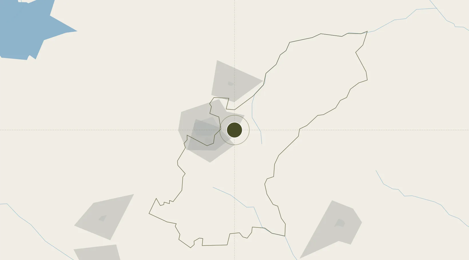
-17.8636°, 31.3839°
79 ha
Zone area
423.9 km
Nearest port
31.7 km
Nearest airport

Gateway access

Nearest neighbours — logibook spatial index (haversine) over the source coordinates

Zone profile

Zone type
Export Processing Zone
Open Zone Map
Region
Mashonaland East
Open Zone Map
Status
Active
Open Zone Map
Management
Public
Open Zone Map
Operator
Ecosoft Pvt. Ltd.
Open Zone Map
Legal framework
Zimbabwe Investment and Development Agency Act
Open Zone Map

Location

Location of ozm-5219
Natural Earth 10m (public domain) · Mashonaland East · ozm-5219 · -17.86, 31.38GoogleOSMYandex

Nearby Logistics Neighbours

Ports
  1. 1Beira424 km
  2. 2Chinde546 km
  3. 3Quelimane582 km
  4. 4Porto Belo614 km
  5. 5Pebane720 km
Nearest neighbours — logibook spatial index (haversine) over the source coordinates
Airports
  1. 1Robert Gabriel Mugabe International Airport32 km
  2. 2Mutoko Airport98 km
  3. 3Josiah Tungamirai Air Force Base237 km
  4. 4Masvingo International Airport250 km
  5. 5Chimoio Airport259 km
Nearest neighbours — logibook spatial index (haversine) over the source coordinates
Cities
  1. 1Marlborough22 km
  2. 2Norton72 km
  3. 3Mutoko102 km
  4. 4Rusape107 km
  5. 5Chegutu134 km
Nearest neighbours — logibook spatial index (haversine) over the source coordinates
Trade Zones
  1. 1Arcadia Lithium Project Special Economic Zone12 km
  2. 2Sunway City Special Economic Zone19 km
  3. 3Berhard Diamond & Jewellery Park36 km
  4. 4Workington Tradekings Special Economic Zone40 km
  5. 5Nkonyeni Agricultural Hub SEZ47 km
Nearest neighbours — logibook spatial index (haversine) over the source coordinates
DatabookThe Record of Consolidated Knowledge
Zimbabwe beyond logistics?
Browse databook

All Sources

Trade ZonesOpen Zone Map
CC BY
Portsthe NGA World Port Index
Public domain (US gov)
AirportsOurAirports
Public domain
LocationsUN/LOCODE
UN/LOCODE — free
← Zimbabwe trade zones