Export Processing Zone · Mozambique

Mocuba Industrial Free Zone Active
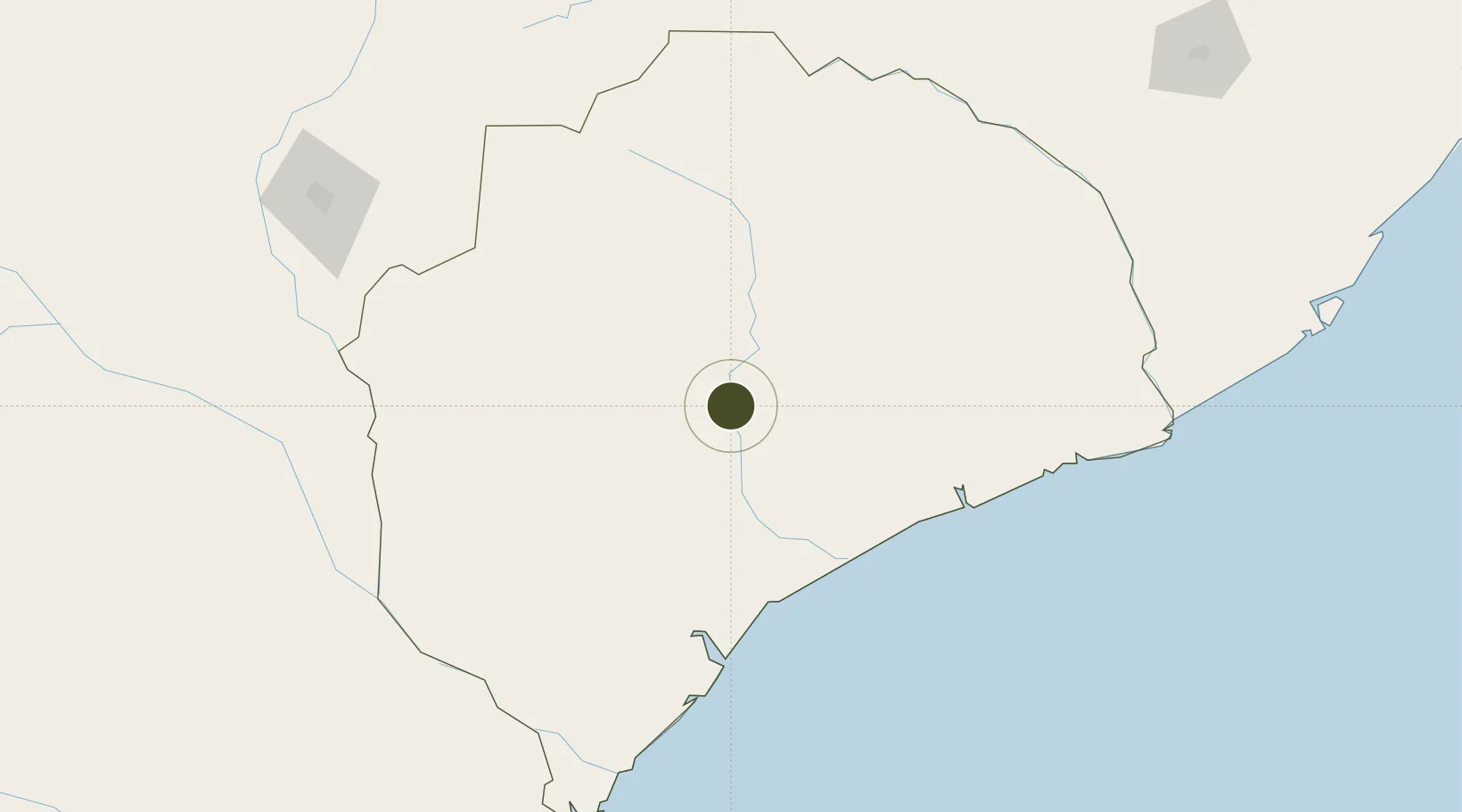
-16.8005°, 37.0109°
50 ha
Zone area
101.7 km
Nearest port
118.3 km
Nearest airport

Gateway access

Nearest neighbours — logibook spatial index (haversine) over the source coordinates

Zone profile

Zone type
Export Processing Zone
Open Zone Map
Region
Zambezia
Open Zone Map
Status
Active
Open Zone Map
Management
Public
Open Zone Map
Operator
Posto Administrativo de Munhamade
Open Zone Map
Legal framework
Decree 29/2014 of 6 June 2014
Open Zone Map

Location

Location of ozm-2887
Natural Earth 10m (public domain) · Zambezia · ozm-2887 · -16.80, 37.01GoogleOSMYandex

Nearby Logistics Neighbours

Ports
  1. 1Porto Belo102 km
  2. 2Quelimane121 km
  3. 3Pebane132 km
  4. 4Chinde204 km
  5. 5Beira408 km
Nearest neighbours — logibook spatial index (haversine) over the source coordinates
Airports
  1. 1Quelimane Airport118 km
  2. 2Chileka International Airport251 km
  3. 3Nampula Airport307 km
  4. 4Tete Airport368 km
  5. 5Beira International Airport400 km
Nearest neighbours — logibook spatial index (haversine) over the source coordinates
Cities
  1. 1Thyolo216 km
  2. 2Zomba239 km
  3. 3Coropoa286 km
  4. 4Meconta363 km
  5. 5Beira402 km
Nearest neighbours — logibook spatial index (haversine) over the source coordinates
Trade Zones
  1. 1Chigumula Special Economic Zone232 km
  2. 2Matindi Industrial Park235 km
  3. 3Liwonde Dry Port (Malawi Gateway Project)270 km
  4. 4Zalewa Agro-processing Special Economic Zone275 km
  5. 5Revúboè (Revubue) Industrial Free Zone363 km
Nearest neighbours — logibook spatial index (haversine) over the source coordinates
DatabookThe Record of Consolidated Knowledge
Mozambique beyond logistics?
Browse databook

All Sources

Trade ZonesOpen Zone Map
CC BY
Portsthe NGA World Port Index
Public domain (US gov)
AirportsOurAirports
Public domain
LocationsUN/LOCODE
UN/LOCODE — free
← Mozambique trade zones