Runway & Layout

Airport Specifications
IATA code
BZB
Airport class
Medium airport
Scheduled service
No
Served city
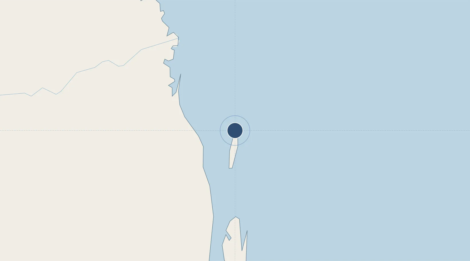
Bazaruto Island
Location
Nearby Logistics Neighbours
Airports
- 1Indigo Bay Lodge Airport19 km
- 2Benguera Island Airport35 km
- 3Vilankulo Airport56 km
- 4Beira International Airport203 km
- 5Inhambane Airport260 km
Cities
- 1Beira206 km
- 2Chimanimani333 km
- 3Chiredzi398 km
- 4Mutare408 km
- 5Chokwé419 km
Ports
- 1Beira201 km
- 2Inhambane264 km
- 3Chinde348 km
- 4Quelimane433 km
- 5Porto Belo463 km
Trade Zones
DatabookThe Record of Consolidated Knowledge
Mozambique beyond logistics?