Large airport · Mozambique

Beira International AirportFQBR
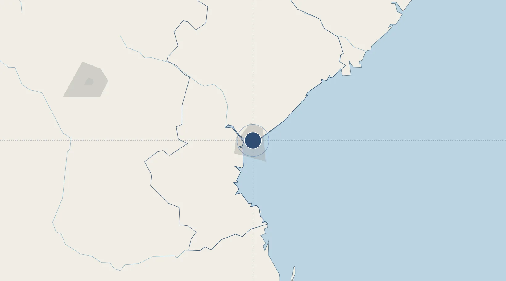
-19.7964°, 34.9076°
7,874 ft
Longest runway
1
Runways
33 ft
Elevation

Runway & Layout

Beira International Airport runway & taxiway layout
Runway & taxiway layout — OpenStreetMap (ODbL) / OurAirports

Radio Frequencies

TWR
118.1 MHz
Tower
GND
121.7 MHz
Ground
APP
119.7 MHz
Approach
OurAirports

Navaids

BR NDB Beira 327 kHz
VBR VOR-DME Beira 113.70 MHz
OurAirports

Runways · 1

RunwayDimensions SurfaceTrue headingLit
12/30 7,874 × 148ft Asphalt 105°
OurAirports

Airport Specifications

IATA code
BEW
OurAirports
ICAO code
FQBR
OurAirports
Airport class
Large airport
OurAirports
Scheduled service
Yes
OurAirports
Runway surface
Asphalt
OurAirports
Served city
Beira
OurAirports

Location

Location of FQBR
Natural Earth 10m (public domain) · Sofala · FQBR · -19.80, 34.91GoogleOSMYandex

Nearby Logistics Neighbours

Airports
  1. 1Chimoio Airport171 km
  2. 2Bazaruto Island Airport203 km
  3. 3Indigo Bay Lodge Airport220 km
  4. 4Benguera Island Airport235 km
  5. 5Vilankulo Airport251 km
Nearest neighbours — logibook spatial index (haversine) over the source coordinates
Cities
  1. 1Beira5 km
  2. 2Chimanimani214 km
  3. 3Mutare252 km
  4. 4Rusape325 km
  5. 5Chiredzi365 km
Nearest neighbours — logibook spatial index (haversine) over the source coordinates
Ports
  1. 1Beira9 km
  2. 2Chinde216 km
  3. 3Quelimane298 km
  4. 4Porto Belo334 km
  5. 5Pebane443 km
Nearest neighbours — logibook spatial index (haversine) over the source coordinates
Trade Zones
  1. 1Manga-Mungassa Special Economic Zone7 km
  2. 2Manga-Mungassa (Beira) Special Economic Zone7 km
  3. 3Fern Hill Special Economic Zone256 km
  4. 4Mocuba Industrial Free Zone400 km
  5. 5Ecosoft Special Economic Zone429 km
Nearest neighbours — logibook spatial index (haversine) over the source coordinates
DatabookThe Record of Consolidated Knowledge
Mozambique beyond logistics?
Browse databook

All Sources

AirportsOurAirports
Public domain
Portsthe NGA World Port Index
Public domain (US gov)
LocationsUN/LOCODE
UN/LOCODE — free
Trade Zonesthe World Bank SEZ database
CC BY 4.0
Trade ZonesOpen Zone Map
CC BY
InfrastructureOpenStreetMap
ODbL 1.0
← Mozambique airports