Transport Functions
Multimodal
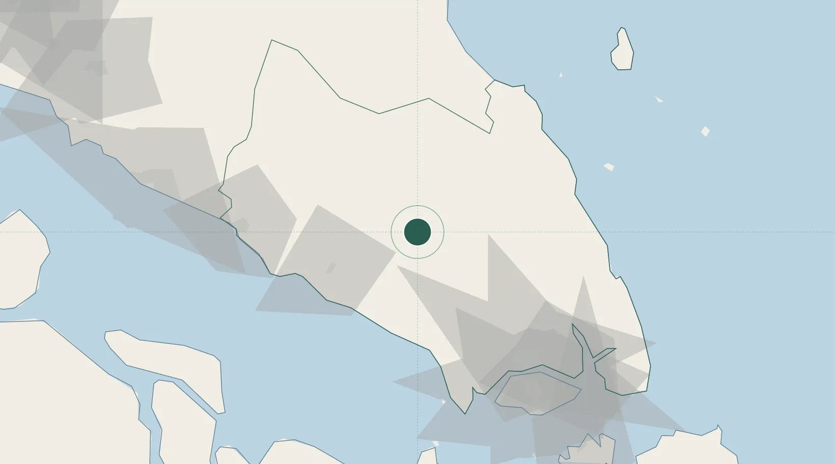
Hub Profile
Place type
Populated place
Region
Johor
Population
323,762
Time zone
Asia/Kuala_Lumpur
Elevation
51 m
Location
Nearby Logistics Neighbours
Cities
- 1Bandar Tenggara38 km
- 2Senai61 km
- 3Ulu Tiram73 km
- 4Tampoi74 km
- 5Taman Molek76 km
Ports
- 1Tanjung Pelepas80 km
- 2Muar83 km
- 3Johor93 km
- 4Jurong Island95 km
- 5Pulau Bukom102 km
Airports
- 1Kluang Airport1 km
- 2Senai International Airport59 km
- 3Tengah Air Base84 km
- 4Sembawang Air Base87 km
- 5Seletar Airport92 km
Trade Zones
DatabookThe Record of Consolidated Knowledge
Malaysia beyond logistics?