Free Trade Zone · Malaysia

Senai Free Zone Active
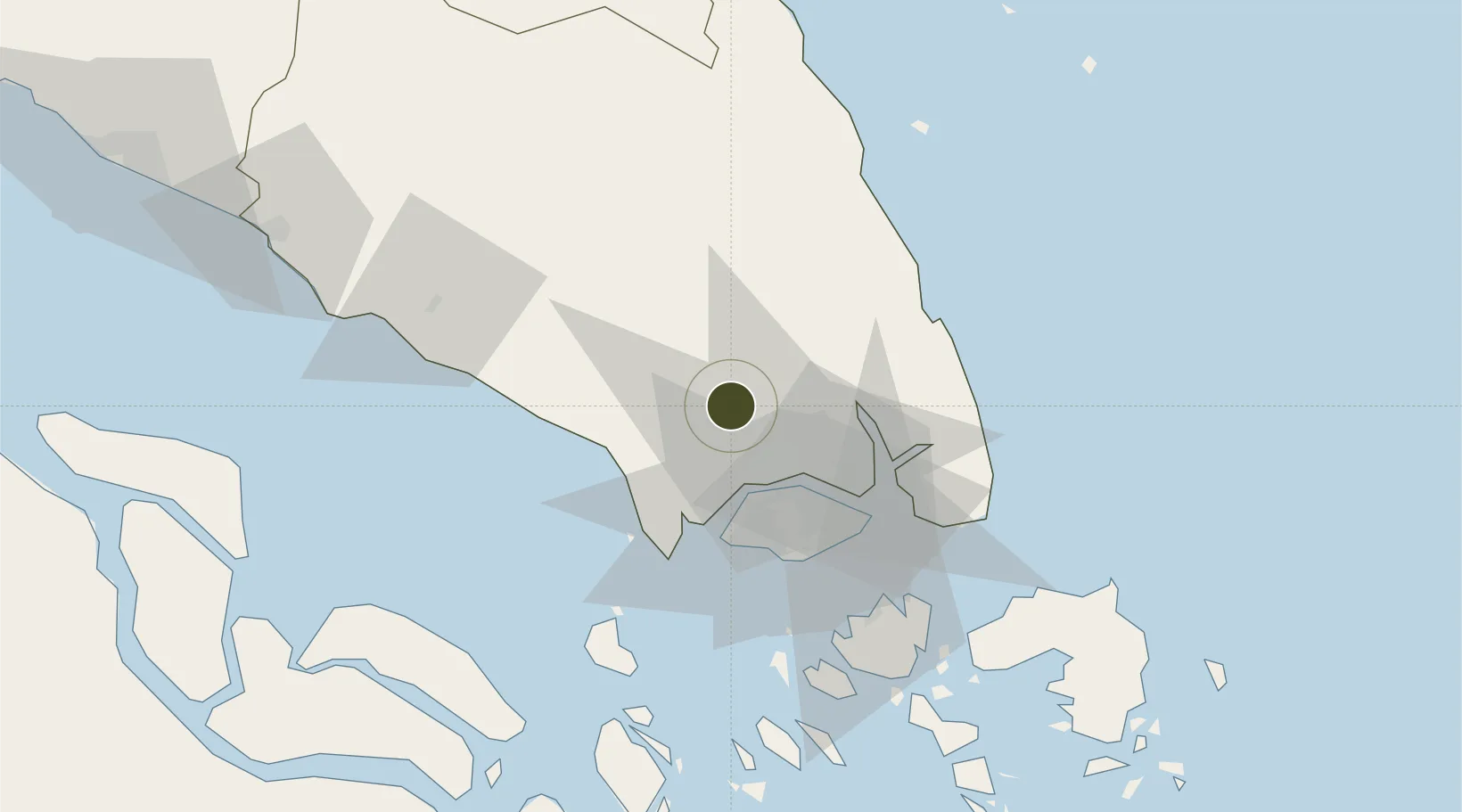
1.6375°, 103.6661°
246 ha
Zone area
34.5 km
Nearest port
0.6 km
Nearest airport

Gateway access

Nearest neighbours — logibook spatial index (haversine) over the source coordinates

Zone profile

Zone type
Free Trade Zone
Open Zone Map
Region
Johor
Open Zone Map
Status
Active
Open Zone Map
Management
Public-Private Partnership
Open Zone Map
Operator
Senai Airport Terminal Services Sdn Bhd
Open Zone Map
Legal framework
Free Zones Act of 1990 (Act 438)
Open Zone Map

Location

Location of ozm-2804
Natural Earth 10m (public domain) · Johor · ozm-2804 · 1.64, 103.67GoogleOSMYandex

Nearby Logistics Neighbours

Ports
  1. 1Tanjung Pelepas35 km
  2. 2Johor35 km
  3. 3Jurong Island40 km
  4. 4Keppel - (East Singapore)44 km
  5. 5Pulau Bukom46 km
Nearest neighbours — logibook spatial index (haversine) over the source coordinates
Airports
  1. 1Senai International Airport1 km
  2. 2Tengah Air Base28 km
  3. 3Sembawang Air Base29 km
  4. 4Seletar Airport33 km
  5. 5Paya Lebar Air Base41 km
Nearest neighbours — logibook spatial index (haversine) over the source coordinates
Cities
  1. 1Senai5 km
  2. 2Tampoi17 km
  3. 3Taman Molek18 km
  4. 4Ulu Tiram19 km
  5. 5Bandar Tenggara26 km
Nearest neighbours — logibook spatial index (haversine) over the source coordinates
Trade Zones
  1. 1Sultan Ismail International Airport Free Industrial Zone, Johor0 km
  2. 2Senai Airport City Phase One1 km
  3. 3I-Park@ Senai Airport City5 km
  4. 4Senai-Skudai Flagship Zone7 km
  5. 5Iskander Development Region18 km
Nearest neighbours — logibook spatial index (haversine) over the source coordinates
DatabookThe Record of Consolidated Knowledge
Malaysia beyond logistics?
Browse databook

All Sources

Trade ZonesOpen Zone Map
CC BY
Portsthe NGA World Port Index
Public domain (US gov)
AirportsOurAirports
Public domain
LocationsUN/LOCODE
UN/LOCODE — free
← Malaysia trade zones