Free Trade Zone · Malaysia

I-Park@ Senai Airport City Under Development
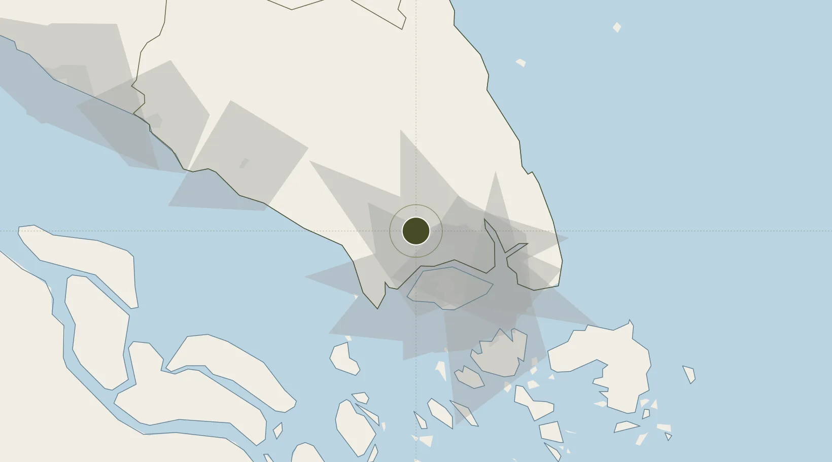
1.5980°, 103.6780°
76 ha
Zone area
30.7 km
Nearest port
4.9 km
Nearest airport

Gateway access

Nearest neighbours — logibook spatial index (haversine) over the source coordinates

Zone profile

Zone type
Free Trade Zone
Open Zone Map
Region
Johor
Open Zone Map
Status
Under Development
Open Zone Map
Management
Public-Private Partnership
Open Zone Map
Operator
Senai Airport City Sdn Bhd
Open Zone Map
Legal framework
Free Zones Act of 1990 (Act 438)
Open Zone Map

Location

Location of ozm-2796
Natural Earth 10m (public domain) · Johor · ozm-2796 · 1.60, 103.68GoogleOSMYandex

Nearby Logistics Neighbours

Ports
  1. 1Johor31 km
  2. 2Tanjung Pelepas31 km
  3. 3Jurong Island36 km
  4. 4Keppel - (East Singapore)40 km
  5. 5Pulau Bukom42 km
Nearest neighbours — logibook spatial index (haversine) over the source coordinates
Airports
  1. 1Senai International Airport5 km
  2. 2Tengah Air Base24 km
  3. 3Sembawang Air Base24 km
  4. 4Seletar Airport29 km
  5. 5Paya Lebar Air Base37 km
Nearest neighbours — logibook spatial index (haversine) over the source coordinates
Cities
  1. 1Senai3 km
  2. 2Tampoi13 km
  3. 3Taman Molek15 km
  4. 4Ulu Tiram18 km
  5. 5Johor Bahru27 km
Nearest neighbours — logibook spatial index (haversine) over the source coordinates
Trade Zones
  1. 1Senai-Skudai Flagship Zone4 km
  2. 2Senai Free Zone5 km
  3. 3Sultan Ismail International Airport Free Industrial Zone, Johor5 km
  4. 4Senai Airport City Phase One5 km
  5. 5Iskander Development Region14 km
Nearest neighbours — logibook spatial index (haversine) over the source coordinates
DatabookThe Record of Consolidated Knowledge
Malaysia beyond logistics?
Browse databook

All Sources

Trade ZonesOpen Zone Map
CC BY
Portsthe NGA World Port Index
Public domain (US gov)
AirportsOurAirports
Public domain
LocationsUN/LOCODE
UN/LOCODE — free
← Malaysia trade zones