UN/LOCODE hub · Malaysia
MYBTK
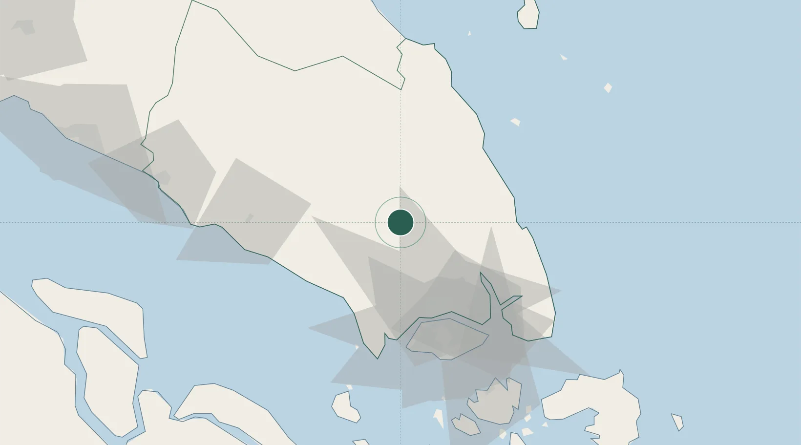
Bandar Tenggara
1.8667°, 103.6167°
15,278
Population
1
Transport functions
Transport Functions
Port
Hub Profile
Place type
Populated place
Region
Johor
Population
15,278
Time zone
Asia/Kuala_Lumpur
Elevation
49 m
Location
Nearby Logistics Neighbours
Cities
- 1Senai30 km
- 2Ulu Tiram35 km
- 3Kluang38 km
- 4Taman Molek41 km
- 5Tampoi43 km
Ports
- 1Johor58 km
- 2Tanjung Pelepas58 km
- 3Jurong Island66 km
- 4Keppel - (East Singapore)70 km
- 5Pulau Bukom72 km
Airports
- 1Senai International Airport26 km
- 2Kluang Airport40 km
- 3Sembawang Air Base54 km
- 4Tengah Air Base54 km
- 5Seletar Airport57 km
Trade Zones
DatabookThe Record of Consolidated Knowledge
Malaysia beyond logistics?