Transport Functions
Rail
Road
Airport
Hub Profile
Region
01
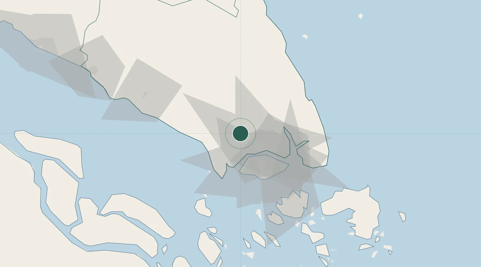
Location
Nearby Logistics Neighbours
Cities
- 1Tampoi14 km
- 2Taman Molek18 km
- 3Ulu Tiram21 km
- 4Gelang Patah27 km
- 5Tanjung Pelepas28 km
Ports
- 1Tanjung Pelepas30 km
- 2Johor33 km
- 3Jurong Island36 km
- 4Keppel - (East Singapore)42 km
- 5Pulau Bukom43 km
Airports
- 1Senai International Airport5 km
- 2Tengah Air Base25 km
- 3Sembawang Air Base27 km
- 4Seletar Airport32 km
- 5Paya Lebar Air Base39 km
DatabookThe Record of Consolidated Knowledge
Malaysia beyond logistics?