UN/LOCODE hub · Malaysia
MYNII

Nilai

2.8167°, 101.8000°
1
Transport functions

Transport Functions

Port
UN/LOCODE

Hub Profile

Region
05
GeoNames

Location

Location of MYNII
Natural Earth 10m (public domain) · 05 · MYNII · 2.82, 101.80GoogleOSMYandex

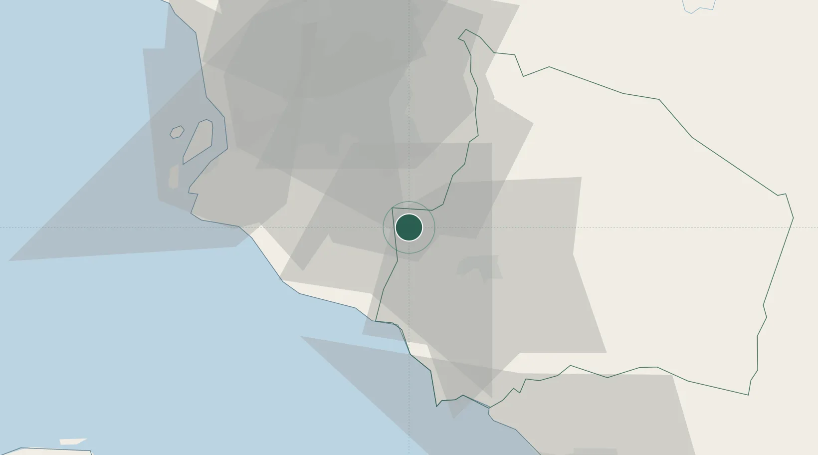
Nearby Logistics Neighbours

Cities
  1. 1Beranang11 km
  2. 2Bandar Enstek11 km
  3. 3Sepang, Selangor14 km
  4. 4Semenyih16 km
  5. 5Sendayan Village16 km
Nearest neighbours — logibook spatial index (haversine) over the source coordinates
Ports
  1. 1Port Dickson32 km
  2. 2Port Klang49 km
  3. 3Pelabuhan Sungai Udang73 km
  4. 4Melaka85 km
  5. 5Muar121 km
Nearest neighbours — logibook spatial index (haversine) over the source coordinates
Airports
  1. 1Kuala Lumpur International Airport13 km
  2. 2Sultan Abdul Aziz Shah International Airport45 km
  3. 3Malacca International Airport79 km
  4. 4Pinang Kampai Airport140 km
  5. 5Kluang Airport188 km
Nearest neighbours — logibook spatial index (haversine) over the source coordinates
Trade Zones
  1. 1Nilai Utama Industrial Park7 km
  2. 2Techpark @ Enstek11 km
  3. 3Digital Free Trade Zone13 km
  4. 4Kuala Lumpur International Airport (Klia) Free Commercial Zone14 km
  5. 5Galla Industrial Park15 km
Nearest neighbours — logibook spatial index (haversine) over the source coordinates
DatabookThe Record of Consolidated Knowledge
Malaysia beyond logistics?
Browse databook

All Sources

LocationsUN/LOCODE
UN/LOCODE — free
Portsthe NGA World Port Index
Public domain (US gov)
AirportsOurAirports
Public domain
Trade Zonesthe World Bank SEZ database
CC BY 4.0
Trade ZonesOpen Zone Map
CC BY
← Malaysia locations