Diversified Zone · Malaysia

Nilai Utama Industrial Park Under Development
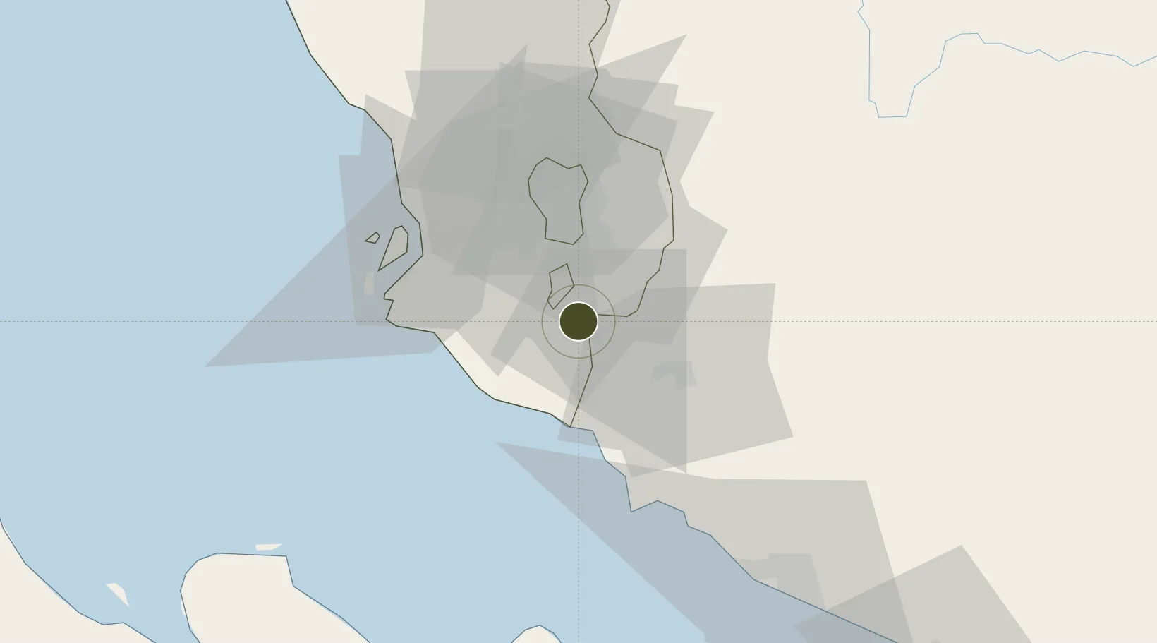
2.8451°, 101.7405°
132 ha
Zone area
35.0 km
Nearest port
11.6 km
Nearest airport

Gateway access

Nearest neighbours — logibook spatial index (haversine) over the source coordinates

Zone profile

Zone type
Diversified Zone
Open Zone Map
Region
Selangor
Open Zone Map
Status
Under Development
Open Zone Map
Management
Public-Private Partnership
Open Zone Map
Operator
Sime Darby Properties
Open Zone Map
Legal framework
Promotion of Investments Act 1986 and the Income Tax Act 1967.
Open Zone Map

Location

Location of ozm-2759
Natural Earth 10m (public domain) · Selangor · ozm-2759 · 2.85, 101.74GoogleOSMYandex

Nearby Logistics Neighbours

Ports
  1. 1Port Dickson35 km
  2. 2Port Klang42 km
  3. 3Pelabuhan Sungai Udang79 km
  4. 4Melaka91 km
  5. 5Muar127 km
Nearest neighbours — logibook spatial index (haversine) over the source coordinates
Airports
  1. 1Kuala Lumpur International Airport12 km
  2. 2Sultan Abdul Aziz Shah International Airport38 km
  3. 3Malacca International Airport86 km
  4. 4Pinang Kampai Airport142 km
  5. 5Kuantan Airport193 km
Nearest neighbours — logibook spatial index (haversine) over the source coordinates
Cities
  1. 1Nilai7 km
  2. 2Bandar Enstek11 km
  3. 3Cyberjaya13 km
  4. 4Beranang15 km
  5. 5Sepang, Selangor16 km
Nearest neighbours — logibook spatial index (haversine) over the source coordinates
Trade Zones
  1. 1Multimedia Super-Corridor12 km
  2. 2Kuala Lumpur International Airport (Klia) Free Commercial Zone12 km
  3. 3Digital Free Trade Zone13 km
  4. 4Techpark @ Enstek13 km
  5. 5Sendayan Tech Valley21 km
Nearest neighbours — logibook spatial index (haversine) over the source coordinates
DatabookThe Record of Consolidated Knowledge
Malaysia beyond logistics?
Browse databook

All Sources

Trade ZonesOpen Zone Map
CC BY
Portsthe NGA World Port Index
Public domain (US gov)
AirportsOurAirports
Public domain
LocationsUN/LOCODE
UN/LOCODE — free
← Malaysia trade zones