Transport Functions
Multimodal
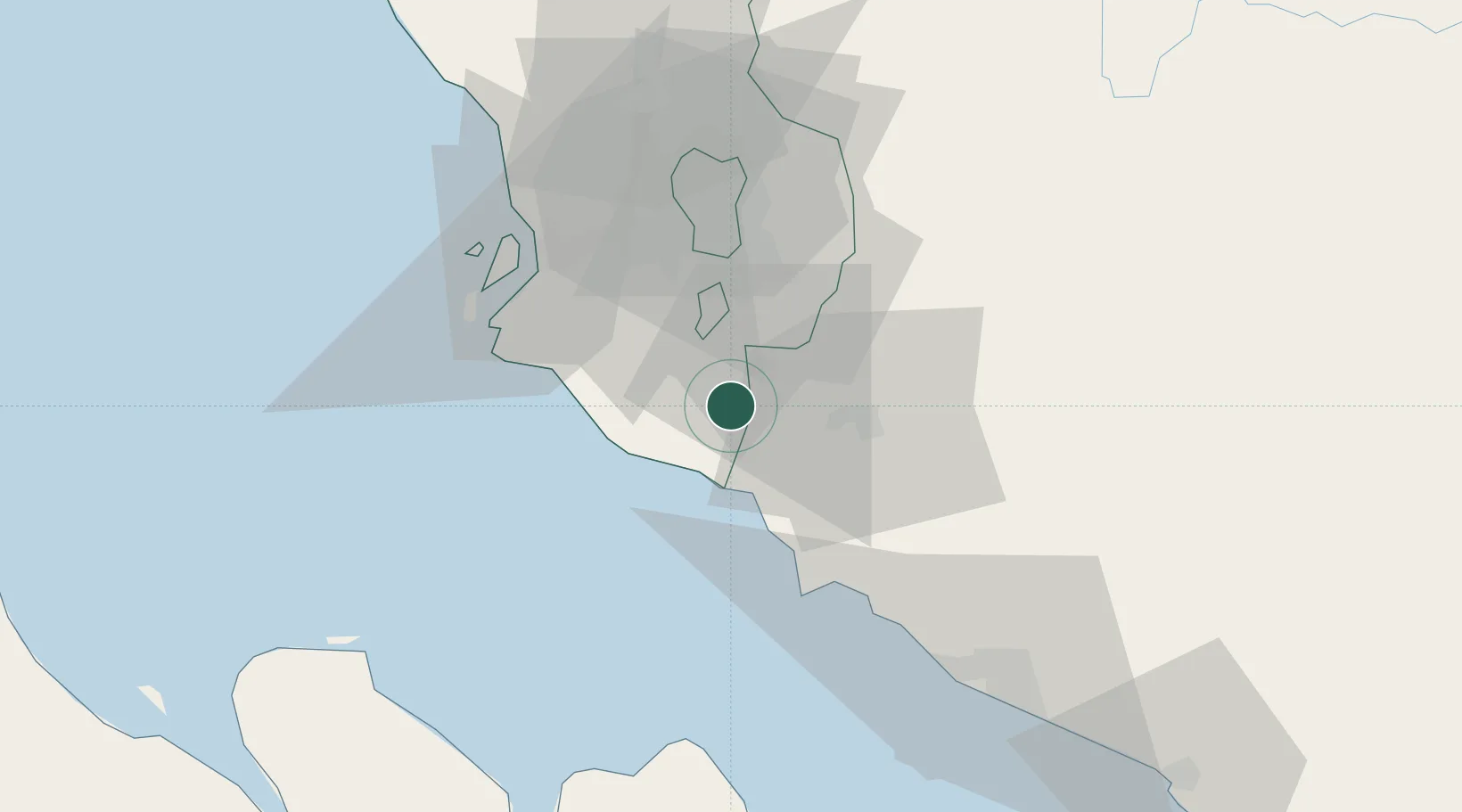
Location
Nearby Logistics Neighbours
Cities
- 1Sepang, Selangor6 km
- 2Nilai11 km
- 3Sendayan Village15 km
- 4Kuala Langat17 km
- 5Cyberjaya21 km
Ports
- 1Port Dickson25 km
- 2Port Klang46 km
- 3Pelabuhan Sungai Udang71 km
- 4Melaka84 km
- 5Muar121 km
Airports
Trade Zones
DatabookThe Record of Consolidated Knowledge
Malaysia beyond logistics?