Export Processing Zone · Malaysia

Kuala Lumpur International Airport (Klia) Free Commercial Zone Active
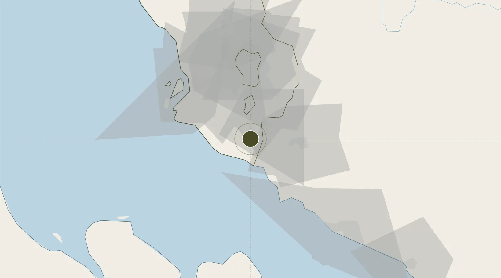
2.7424°, 101.7041°
82 ha
Zone area
24.9 km
Nearest port
0.8 km
Nearest airport

Gateway access

Nearest neighbours — logibook spatial index (haversine) over the source coordinates

Zone profile

Zone type
Export Processing Zone
Open Zone Map
Region
Selangor
Open Zone Map
Status
Active
Open Zone Map
Management
Public
Open Zone Map
Operator
Malaysia Airports Holdings Ltd.
Open Zone Map
Legal framework
Free Zones Act of 1990 (Act 438)
Open Zone Map

Location

Location of ozm-2779
Natural Earth 10m (public domain) · Selangor · ozm-2779 · 2.74, 101.70GoogleOSMYandex

Nearby Logistics Neighbours

Ports
  1. 1Port Dickson25 km
  2. 2Port Klang44 km
  3. 3Pelabuhan Sungai Udang73 km
  4. 4Melaka86 km
  5. 5Dumai121 km
Nearest neighbours — logibook spatial index (haversine) over the source coordinates
Airports
  1. 1Kuala Lumpur International Airport1 km
  2. 2Sultan Abdul Aziz Shah International Airport47 km
  3. 3Malacca International Airport81 km
  4. 4Pinang Kampai Airport130 km
  5. 5Kluang Airport194 km
Nearest neighbours — logibook spatial index (haversine) over the source coordinates
Cities
  1. 1Bandar Enstek3 km
  2. 2Sepang, Selangor7 km
  3. 3Kuala Langat13 km
  4. 4Nilai14 km
  5. 5Sendayan Village18 km
Nearest neighbours — logibook spatial index (haversine) over the source coordinates
Trade Zones
  1. 1Digital Free Trade Zone3 km
  2. 2Techpark @ Enstek7 km
  3. 3Nilai Utama Industrial Park12 km
  4. 4Sendayan Tech Valley16 km
  5. 5Bandar Mahkota Banting Industrial Park20 km
Nearest neighbours — logibook spatial index (haversine) over the source coordinates
DatabookThe Record of Consolidated Knowledge
Malaysia beyond logistics?
Browse databook

All Sources

Trade ZonesOpen Zone Map
CC BY
Portsthe NGA World Port Index
Public domain (US gov)
AirportsOurAirports
Public domain
LocationsUN/LOCODE
UN/LOCODE — free
← Malaysia trade zones