Transport Functions
Rail
Road
Hub Profile
Region
10
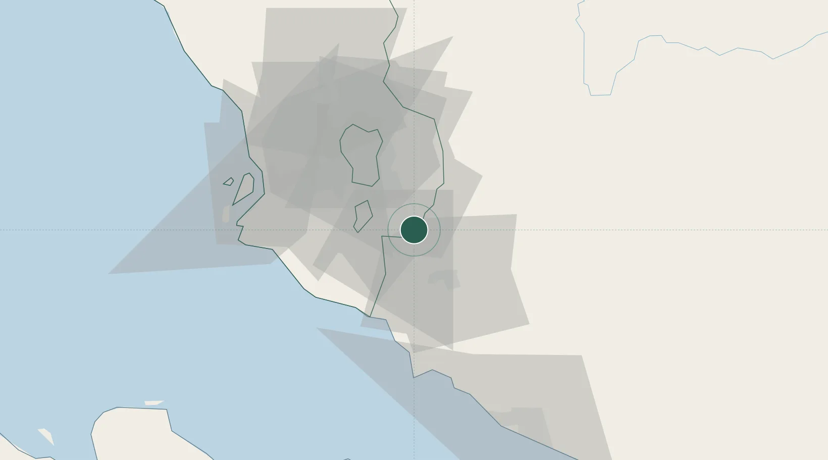
Location
Nearby Logistics Neighbours
Cities
- 1Semenyih8 km
- 2Nilai11 km
- 3Seremban20 km
- 4Bandar Enstek21 km
- 5Sendayan Village22 km
Ports
- 1Port Dickson40 km
- 2Port Klang53 km
- 3Pelabuhan Sungai Udang76 km
- 4Melaka87 km
- 5Muar121 km
Airports
Trade Zones
- 1Nilai Utama Industrial Park15 km
- 2Galla Industrial Park17 km
- 3Multimedia Super-Corridor19 km
- 4Techpark @ Enstek21 km
- 5Sendayan Tech Valley23 km
DatabookThe Record of Consolidated Knowledge
Malaysia beyond logistics?