Transport Functions
Multimodal
Hub Profile
Place type
Populated place
Region
Selangor
Population
92,491
Time zone
Asia/Kuala_Lumpur
Elevation
39 m
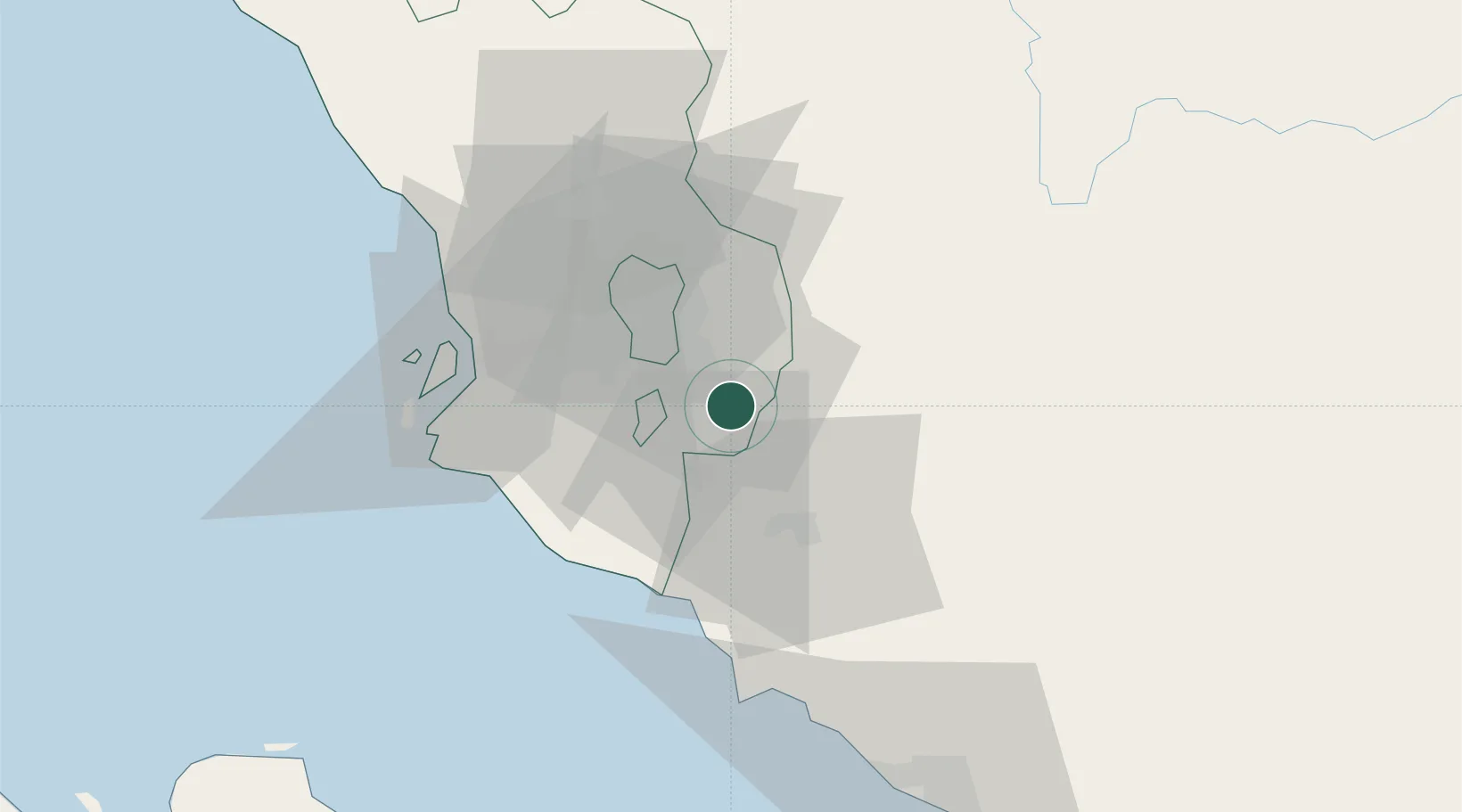
Location
Nearby Logistics Neighbours
Cities
- 1Beranang8 km
- 2Nilai16 km
- 3Pandamaran18 km
- 4Seri Kembangan18 km
- 5Cyberjaya23 km
Ports
- 1Port Dickson47 km
- 2Port Klang50 km
- 3Pelabuhan Sungai Udang84 km
- 4Melaka95 km
- 5Muar128 km
Airports
Trade Zones
- 1Multimedia Super-Corridor16 km
- 2Nilai Utama Industrial Park17 km
- 3Galla Industrial Park25 km
- 4Techpark @ Enstek26 km
- 5Digital Free Trade Zone28 km
DatabookThe Record of Consolidated Knowledge
Malaysia beyond logistics?