Free Trade Zone · Malaysia

Digital Free Trade Zone Under Development
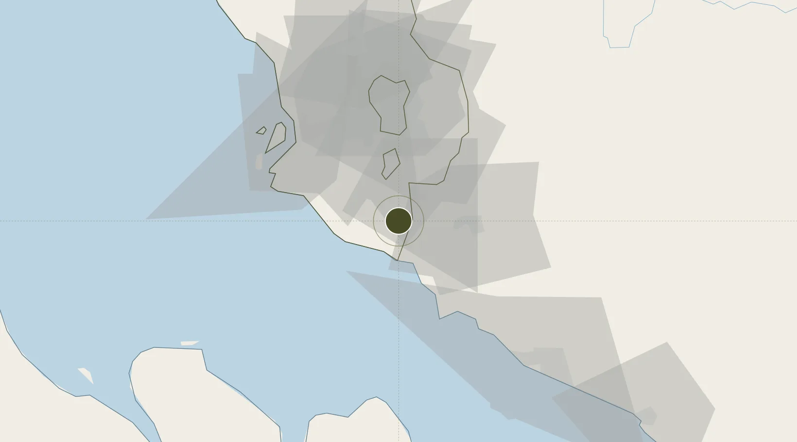
2.7321°, 101.7249°
17 ha
Zone area
23.0 km
Nearest port
2.2 km
Nearest airport

Gateway access

Nearest neighbours — logibook spatial index (haversine) over the source coordinates

Zone profile

Zone type
Free Trade Zone
Open Zone Map
Region
Selangor
Open Zone Map
Status
Under Development
Open Zone Map
Management
Public-Private Partnership
Open Zone Map
Operator
Alibaba Group and Malaysia Digital Economy Corporation
Open Zone Map
Legal framework
Free Zones Act 1990, Customs Act (Amendment) 2019
Open Zone Map

Location

Location of ozm-2791
Natural Earth 10m (public domain) · Selangor · ozm-2791 · 2.73, 101.72GoogleOSMYandex

Nearby Logistics Neighbours

Ports
  1. 1Port Dickson23 km
  2. 2Port Klang47 km
  3. 3Pelabuhan Sungai Udang70 km
  4. 4Melaka83 km
  5. 5Muar120 km
Nearest neighbours — logibook spatial index (haversine) over the source coordinates
Airports
  1. 1Kuala Lumpur International Airport2 km
  2. 2Sultan Abdul Aziz Shah International Airport48 km
  3. 3Malacca International Airport78 km
  4. 4Pinang Kampai Airport129 km
  5. 5Kluang Airport192 km
Nearest neighbours — logibook spatial index (haversine) over the source coordinates
Cities
  1. 1Bandar Enstek2 km
  2. 2Sepang, Selangor5 km
  3. 3Nilai13 km
  4. 4Sendayan Village15 km
  5. 5Kuala Langat16 km
Nearest neighbours — logibook spatial index (haversine) over the source coordinates
Trade Zones
  1. 1Kuala Lumpur International Airport (Klia) Free Commercial Zone3 km
  2. 2Techpark @ Enstek4 km
  3. 3Nilai Utama Industrial Park13 km
  4. 4Sendayan Tech Valley13 km
  5. 5Galla Industrial Park19 km
Nearest neighbours — logibook spatial index (haversine) over the source coordinates
DatabookThe Record of Consolidated Knowledge
Malaysia beyond logistics?
Browse databook

All Sources

Trade ZonesOpen Zone Map
CC BY
Portsthe NGA World Port Index
Public domain (US gov)
AirportsOurAirports
Public domain
LocationsUN/LOCODE
UN/LOCODE — free
← Malaysia trade zones