Transport Functions
Multimodal
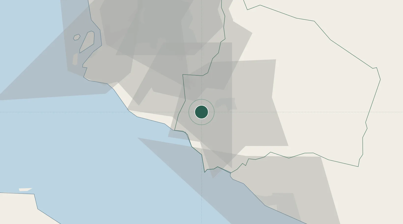
Hub Profile
Place type
Populated place
Region
Negeri Sembilan
Time zone
Asia/Kuala_Lumpur
Elevation
42 m
Location
Nearby Logistics Neighbours
Cities
- 1Seremban10 km
- 2Sepang, Selangor11 km
- 3Senawang13 km
- 4Bandar Enstek15 km
- 5Nilai16 km
Ports
- 1Port Dickson18 km
- 2Pelabuhan Sungai Udang58 km
- 3Port Klang61 km
- 4Melaka70 km
- 5Muar106 km
Airports
Trade Zones
- 1Sendayan Tech Valley2 km
- 2Galla Industrial Park7 km
- 3Techpark @ Enstek11 km
- 4Senawang Industrial Park14 km
- 5Digital Free Trade Zone15 km
DatabookThe Record of Consolidated Knowledge
Malaysia beyond logistics?