Transport Functions
Multimodal
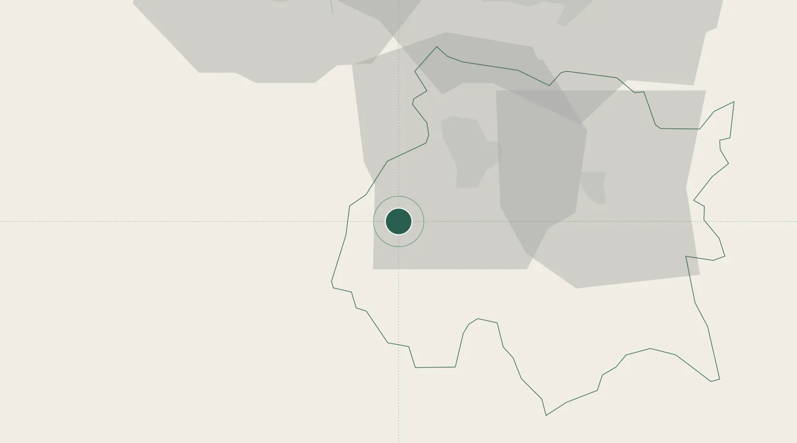
Hub Profile
Place type
Provincial seat
Region
Morelos
Population
7,212
Time zone
America/Mexico_City
Elevation
1,032 m
Location
Nearby Logistics Neighbours
Cities
- 1Xochitepec14 km
- 2Zumpahuacán24 km
- 3Ahuatepec26 km
- 4Jojutla27 km
- 5Xochimancas28 km
Ports
- 1Acapulco221 km
- 2Lazaro Cardenas310 km
- 3Tuxpan318 km
- 4Veracruz343 km
- 5Tampico414 km
Airports
DatabookThe Record of Consolidated Knowledge
Mexico beyond logistics?