Transport Functions
Rail
Road
Hub Profile
Place type
Urban district
Region
Mexico City
Time zone
America/Mexico_City
Elevation
2,374 m
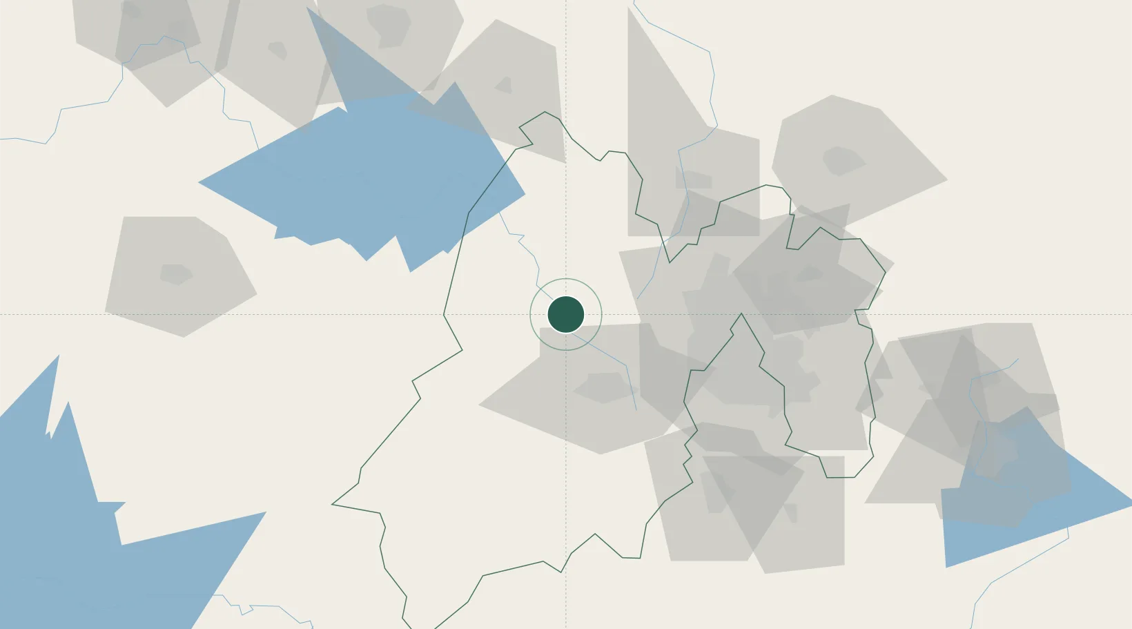
Location
Nearby Logistics Neighbours
Cities
- 1Santa Cruz Tepexpan7 km
- 2Atlacomulco de Fabela28 km
- 3San Andres Timilpan34 km
- 4Zinacantepec34 km
- 5San Pedro Totoltepec36 km
Ports
- 1Tuxpan291 km
- 2Acapulco303 km
- 3Lazaro Cardenas311 km
- 4Tampico355 km
- 5Altamira381 km
Airports
Trade Zones
DatabookThe Record of Consolidated Knowledge
Mexico beyond logistics?