Transport Functions
Multimodal
Hub Profile
Place type
Provincial seat
Region
Puebla
Time zone
America/Mexico_City
Elevation
1,942 m
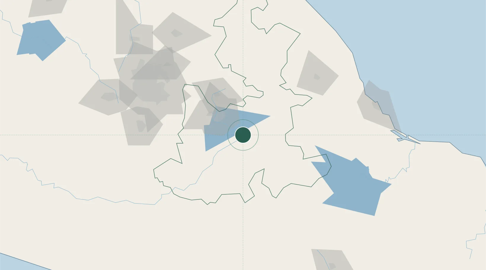
Location
Nearby Logistics Neighbours
Cities
- 1Tecamachalco18 km
- 2Cuautinchan20 km
- 3Acatzingo22 km
- 4Tepetlalco29 km
- 5Acajete34 km
Ports
- 1Veracruz189 km
- 2Tuxpan244 km
- 3Acapulco307 km
- 4Minatitlan362 km
- 5Coatzacoalcos373 km
Airports
DatabookThe Record of Consolidated Knowledge
Mexico beyond logistics?