Transport Functions
Road
Multimodal
Hub Profile
Region
PUE
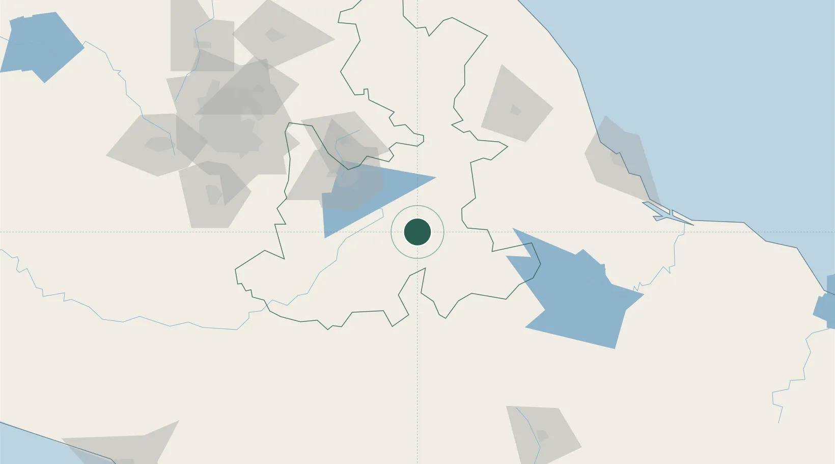
Location
Nearby Logistics Neighbours
Cities
- 1Tepanco de López14 km
- 2Tecamachalco29 km
- 3Tepeyahualco29 km
- 4Acatzingo39 km
- 5Cuautinchan50 km
Ports
- 1Veracruz173 km
- 2Tuxpan259 km
- 3Acapulco311 km
- 4Minatitlan336 km
- 5Coatzacoalcos347 km
Airports
DatabookThe Record of Consolidated Knowledge
Mexico beyond logistics?