UN/LOCODE hub · Mexico
MXACO

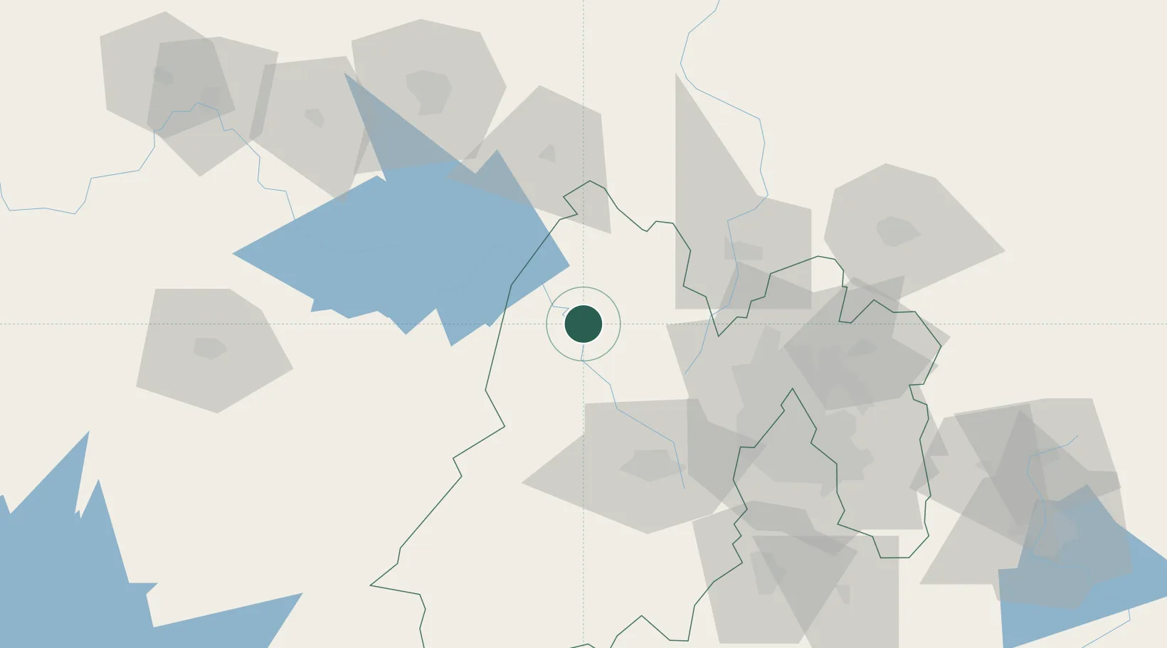
Atlacomulco de Fabela

19.8000°, -99.8667°
22,774
Population
2
Transport functions

Transport Functions

Road
Multimodal
UN/LOCODE

Hub Profile

Place type
Provincial seat
GeoNames
Region
México
GeoNames
Population
22,774
GeoNames
Time zone
America/Mexico_City
GeoNames
Elevation
2,576 m
GeoNames

Location

Location of MXACO
Natural Earth 10m (public domain) · México · MXACO · 19.80, -99.87GoogleOSMYandex

Nearby Logistics Neighbours

Cities
  1. 1San Andres Timilpan16 km
  2. 2Ixtlahuacan28 km
  3. 3Santa Cruz Tepexpan31 km
  4. 4Tlalpujahua de Rayón31 km
  5. 5Tepeji de Ocampo55 km
Nearest neighbours — logibook spatial index (haversine) over the source coordinates
Ports
  1. 1Tuxpan287 km
  2. 2Lazaro Cardenas319 km
  3. 3Acapulco328 km
  4. 4Tampico340 km
  5. 5Altamira364 km
Nearest neighbours — logibook spatial index (haversine) over the source coordinates
Trade Zones
  1. 1The Special Economic Zone of Lázaro Cárdenas - La Unión320 km
  2. 2Special Economic Zone of Coatzacoalcos594 km
  3. 3Special Economic Zone of Salina Cruz634 km
  4. 4Zona Economica Especial de Tabasco712 km
  5. 5FTZ No. 012 McAllen725 km
Nearest neighbours — logibook spatial index (haversine) over the source coordinates
DatabookThe Record of Consolidated Knowledge
Mexico beyond logistics?
Browse databook

All Sources

LocationsUN/LOCODE
UN/LOCODE — free
LocationsGeoNames
CC BY 4.0
Portsthe NGA World Port Index
Public domain (US gov)
AirportsOurAirports
Public domain
Trade Zonesthe World Bank SEZ database
CC BY 4.0
Trade ZonesOpen Zone Map
CC BY
← Mexico locations