Transport Functions
Port
Airport
Hub Profile
Place type
Populated place
Region
Veracruz
Time zone
America/Mexico_City
Elevation
869 m
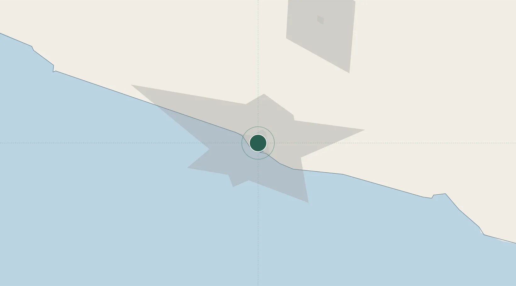
Location
Nearby Logistics Neighbours
Cities
- 1Papalotepec104 km
- 2Iguala de la Independencia171 km
- 3Zihuatanejo199 km
- 4Jojutla208 km
- 5Ixtapa/Zihuatanejo210 km
Ports
- 1Lazaro Cardenas272 km
- 2Veracruz473 km
- 3Salina Cruz503 km
- 4Tuxpan525 km
- 5Manzanillo531 km
Airports
DatabookThe Record of Consolidated Knowledge
Mexico beyond logistics?