Transport Functions
Road
Multimodal
Hub Profile
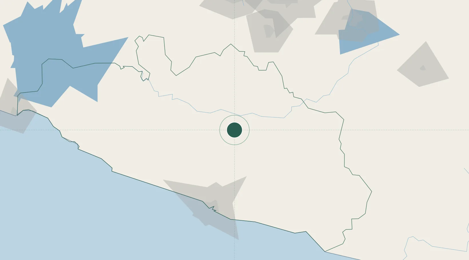
Place type
Populated place
Region
Guerrero
Population
414
Time zone
America/Mexico_City
Elevation
1,171 m
Location
Nearby Logistics Neighbours
Cities
- 1Iguala de la Independencia67 km
- 2Acapulco104 km
- 3Jojutla105 km
- 4Miacatlan116 km
- 5Xochitepec122 km
Ports
- 1Acapulco106 km
- 2Lazaro Cardenas271 km
- 3Veracruz401 km
- 4Tuxpan425 km
- 5Salina Cruz502 km
Airports
DatabookThe Record of Consolidated Knowledge
Mexico beyond logistics?