Transport Functions
Multimodal
Hub Profile
Place type
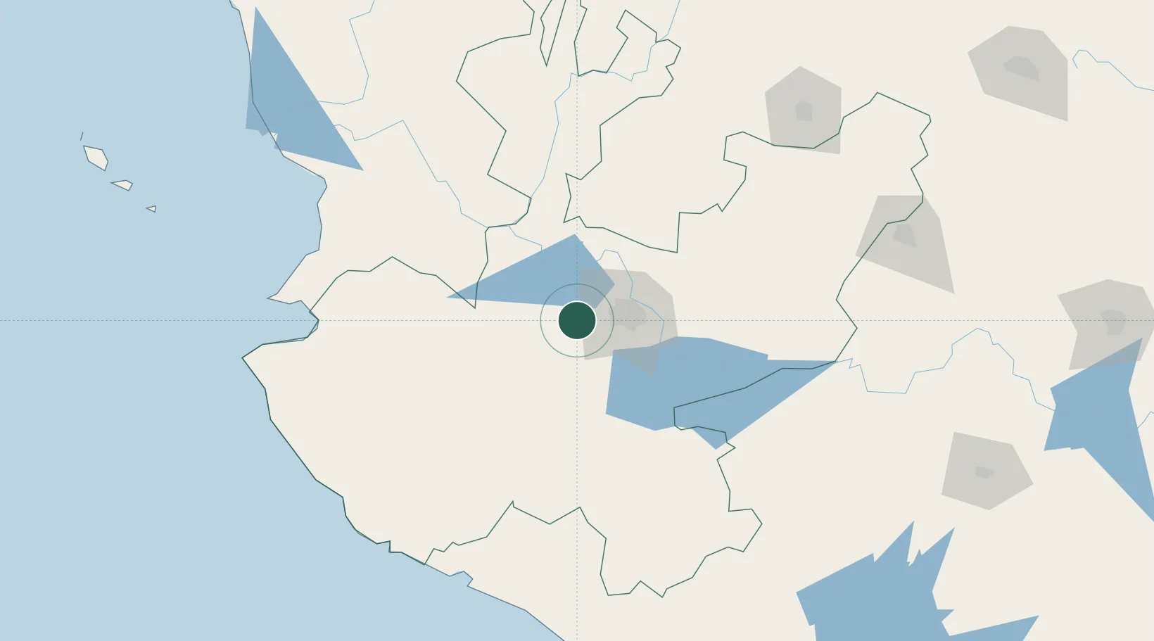
Populated place
Region
Jalisco
Time zone
America/Mexico_City
Elevation
1,530 m
Location
Nearby Logistics Neighbours
Cities
- 1Amatitán23 km
- 2Acatlán de Juárez26 km
- 3Tlajomulco de Zúñiga27 km
- 4Tequila31 km
- 5Santa Cruz de las Flores38 km
Ports
- 1Puerto Vallarta167 km
- 2Manzanillo189 km
- 3Lazaro Cardenas339 km
- 4Mazatlan402 km
- 5Acapulco576 km
Airports
Trade Zones
- 1The Special Economic Zone of Lázaro Cárdenas - La Unión339 km
- 2FTZ No. 095 Starr County808 km
- 3FTZ No. 012 McAllen824 km
- 4FTZ No. 156 Weslaco842 km
- 5FTZ No. 157 Casper842 km
DatabookThe Record of Consolidated Knowledge
Mexico beyond logistics?