UN/LOCODE hub · Mexico
MXTMO

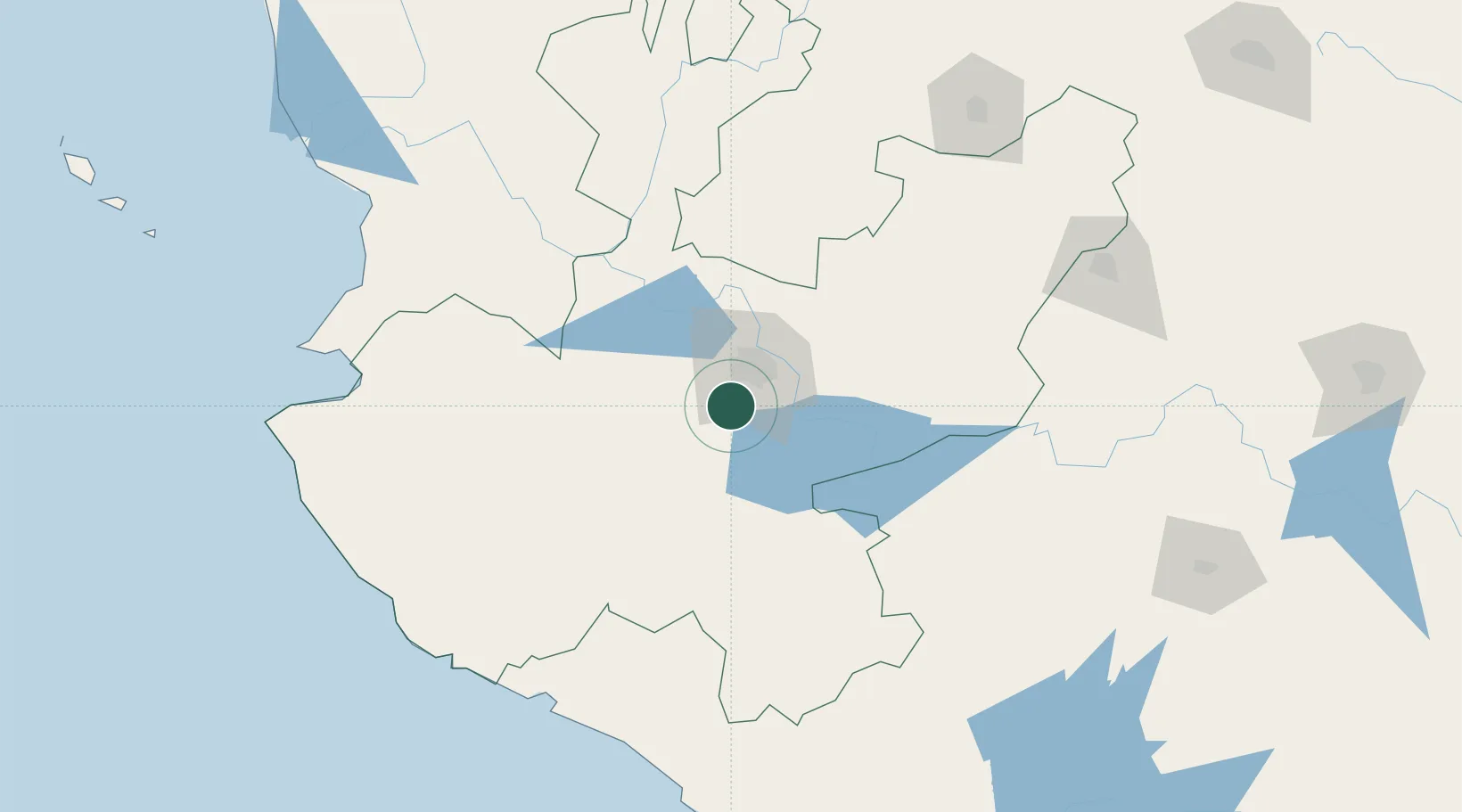
Tlajomulco de Zúñiga

20.4833°, -103.4667°
30,273
Population
2
Transport functions

Transport Functions

Rail
Road
UN/LOCODE

Hub Profile

Place type
Provincial seat
GeoNames
Region
Jalisco
GeoNames
Population
30,273
GeoNames
Time zone
America/Mexico_City
GeoNames
Elevation
1,586 m
GeoNames

Location

Location of MXTMO
Natural Earth 10m (public domain) · Jalisco · MXTMO · 20.48, -103.47GoogleOSMYandex

Nearby Logistics Neighbours

Cities
  1. 1Acatlán de Juárez14 km
  2. 2Santa Cruz de las Flores17 km
  3. 3Zapotlanejo27 km
  4. 4Villa Corona32 km
  5. 5Ixtlahuacan de los Membrillos33 km
Nearest neighbours — logibook spatial index (haversine) over the source coordinates
Ports
  1. 1Manzanillo183 km
  2. 2Puerto Vallarta188 km
  3. 3Lazaro Cardenas315 km
  4. 4Mazatlan429 km
  5. 5Acapulco549 km
Nearest neighbours — logibook spatial index (haversine) over the source coordinates
Airports
  1. 1Guadalajara International Airport17 km
  2. 2Unitec Guadalajara Helipad22 km
  3. 3Agricola La Tuxcana Airport99 km
  4. 4Licenciado Miguel de la Madrid International Airport135 km
  5. 5Amado Nervo National Airport177 km
Nearest neighbours — logibook spatial index (haversine) over the source coordinates
Trade Zones
  1. 1The Special Economic Zone of Lázaro Cárdenas - La Unión315 km
  2. 2FTZ No. 095 Starr County809 km
  3. 3FTZ No. 012 McAllen824 km
  4. 4FTZ No. 156 Weslaco841 km
  5. 5FTZ No. 157 Casper841 km
Nearest neighbours — logibook spatial index (haversine) over the source coordinates
DatabookThe Record of Consolidated Knowledge
Mexico beyond logistics?
Browse databook

All Sources

LocationsUN/LOCODE
UN/LOCODE — free
LocationsGeoNames
CC BY 4.0
Portsthe NGA World Port Index
Public domain (US gov)
AirportsOurAirports
Public domain
Trade Zonesthe World Bank SEZ database
CC BY 4.0
Trade ZonesOpen Zone Map
CC BY
← Mexico locations