Transport Functions
Rail
Road
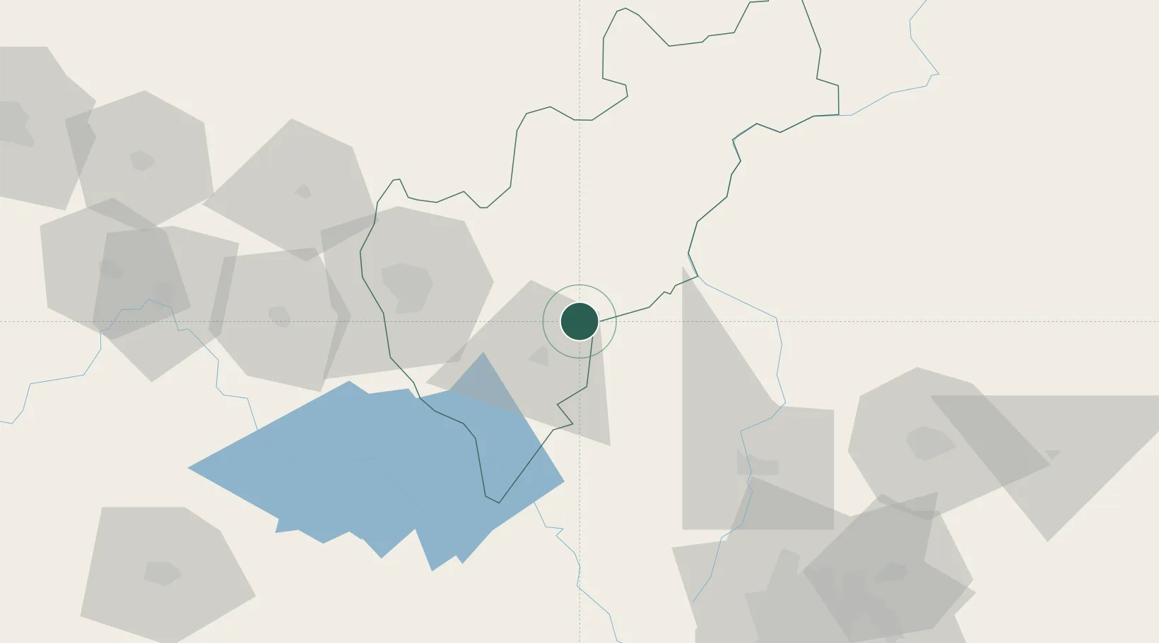
Hub Profile
Place type
Populated place
Region
Querétaro
Population
29,799
Time zone
America/Mexico_City
Elevation
1,881 m
Location
Nearby Logistics Neighbours
Cities
- 1Bernal25 km
- 2Ajuchitlán27 km
- 3El Marques48 km
- 4San Andres Timilpan74 km
- 5Atlacomulco de Fabela80 km
Ports
- 1Tuxpan261 km
- 2Tampico280 km
- 3Altamira302 km
- 4Lazaro Cardenas375 km
- 5Acapulco408 km
Airports
Trade Zones
DatabookThe Record of Consolidated Knowledge
Mexico beyond logistics?