UN/LOCODE hub · Mexico
MXTIM
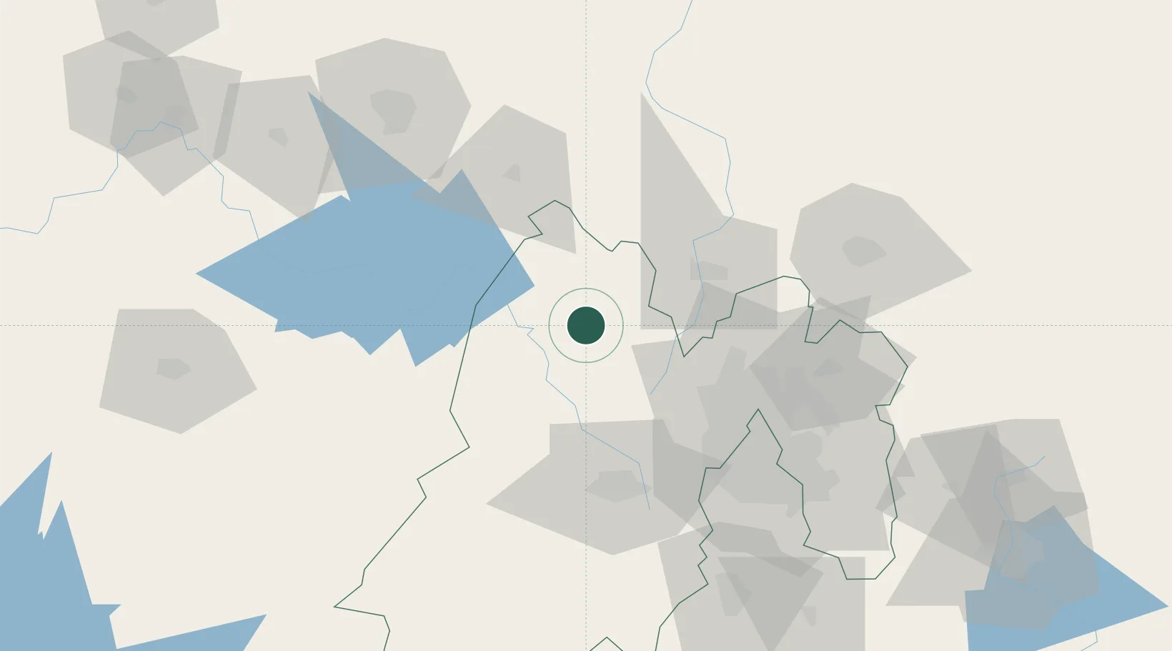
San Andres Timilpan
19.8667°, -99.7333°
978
Population
1
Transport functions
Transport Functions
Multimodal
Hub Profile
Place type
Provincial seat
Region
México
Population
978
Time zone
America/Mexico_City
Elevation
2,671 m
Location
Nearby Logistics Neighbours
Cities
- 1Atlacomulco de Fabela16 km
- 2Santa Cruz Tepexpan34 km
- 3Ixtlahuacan34 km
- 4Tepeji de Ocampo40 km
- 5Tlalpujahua de Rayón46 km
Ports
- 1Tuxpan271 km
- 2Tampico325 km
- 3Lazaro Cardenas334 km
- 4Acapulco336 km
- 5Altamira350 km
Airports
Trade Zones
DatabookThe Record of Consolidated Knowledge
Mexico beyond logistics?