Transport Functions
Multimodal
Hub Profile
Place type
Populated place
Region
Querétaro
Population
3,965
Time zone
America/Mexico_City
Elevation
2,069 m
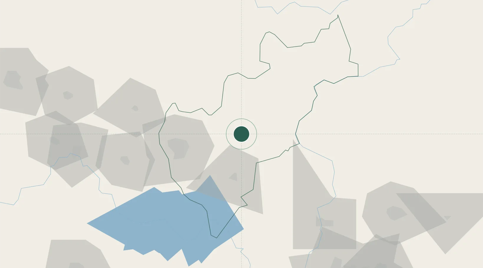
Location
Nearby Logistics Neighbours
Cities
- 1Ajuchitlán9 km
- 2Tequisquiapan25 km
- 3El Marques42 km
- 4Apaseo el Grande82 km
- 5Celaya95 km
Ports
- 1Tuxpan264 km
- 2Tampico270 km
- 3Altamira290 km
- 4Lazaro Cardenas390 km
- 5Acapulco432 km
Airports
Trade Zones
- 1The Special Economic Zone of Lázaro Cárdenas - La Unión391 km
- 2FTZ No. 012 McAllen626 km
- 3FTZ No. 156 Weslaco634 km
- 4FTZ No. 157 Casper634 km
- 5FTZ No. 062 Brownsville635 km
DatabookThe Record of Consolidated Knowledge
Mexico beyond logistics?