Transport Functions
Rail
Road
Hub Profile
Region
PUE
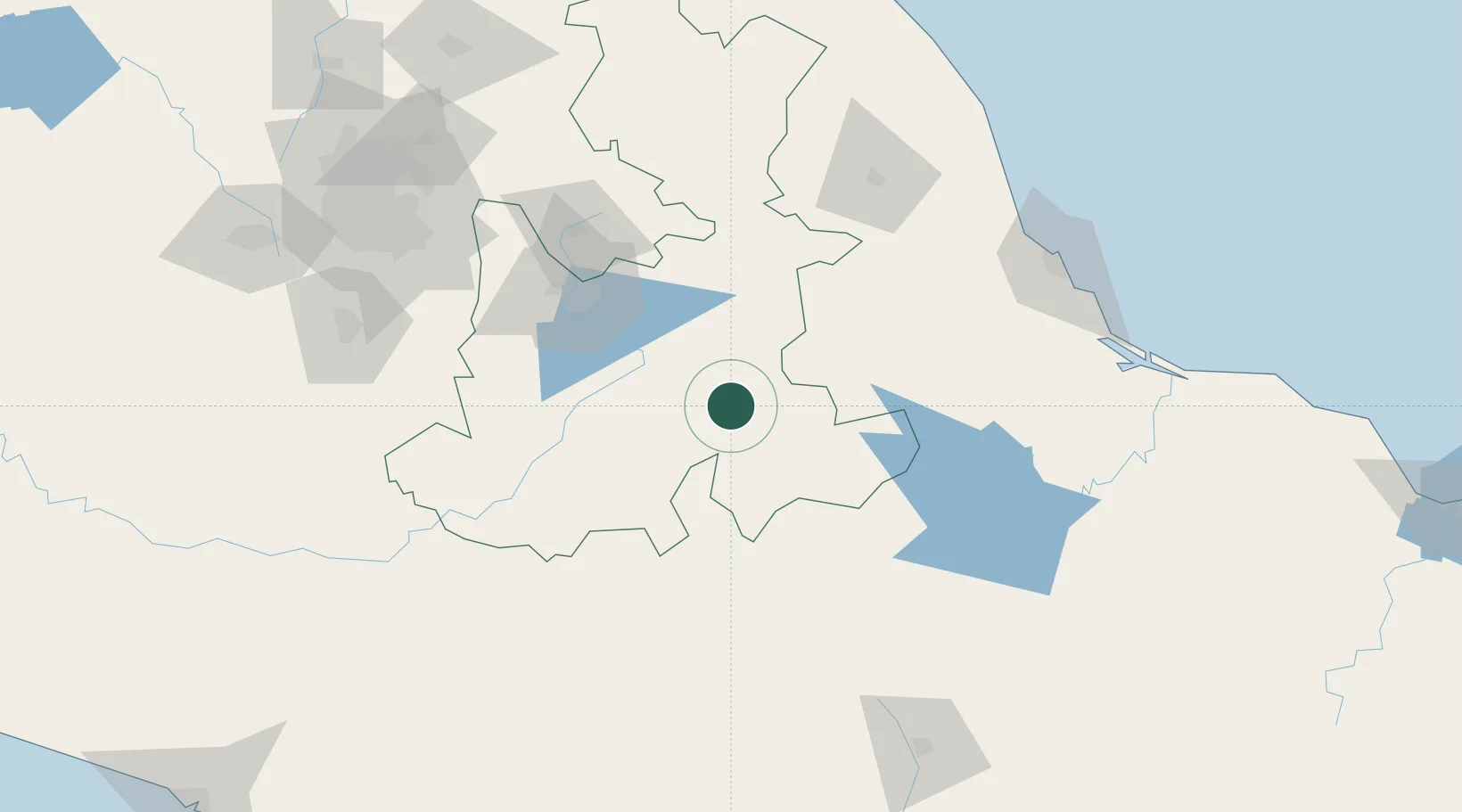
Location
Nearby Logistics Neighbours
Cities
- 1Tepetlalco14 km
- 2Tecamachalco40 km
- 3Tepeyahualco44 km
- 4Acatzingo50 km
- 5Río Blanco52 km
Ports
- 1Veracruz165 km
- 2Tuxpan266 km
- 3Acapulco317 km
- 4Minatitlan322 km
- 5Coatzacoalcos334 km
Airports
DatabookThe Record of Consolidated Knowledge
Mexico beyond logistics?