Transport Functions
Road
Multimodal
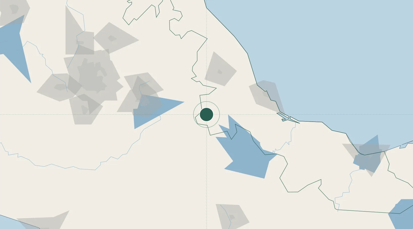
Hub Profile
Place type
Provincial seat
Region
Veracruz
Population
40,611
Time zone
America/Mexico_City
Elevation
1,278 m
Location
Nearby Logistics Neighbours
Cities
- 1Cuitláhuac46 km
- 2Tepanco de López52 km
- 3Tepetlalco59 km
- 4Tecamachalco62 km
- 5Acatzingo67 km
Ports
- 1Veracruz114 km
- 2Tuxpan237 km
- 3Minatitlan290 km
- 4Coatzacoalcos298 km
- 5Nanchital301 km
Airports
DatabookThe Record of Consolidated Knowledge
Mexico beyond logistics?