Large airport · Mexico
Xoxocotlán International AirportMMOX
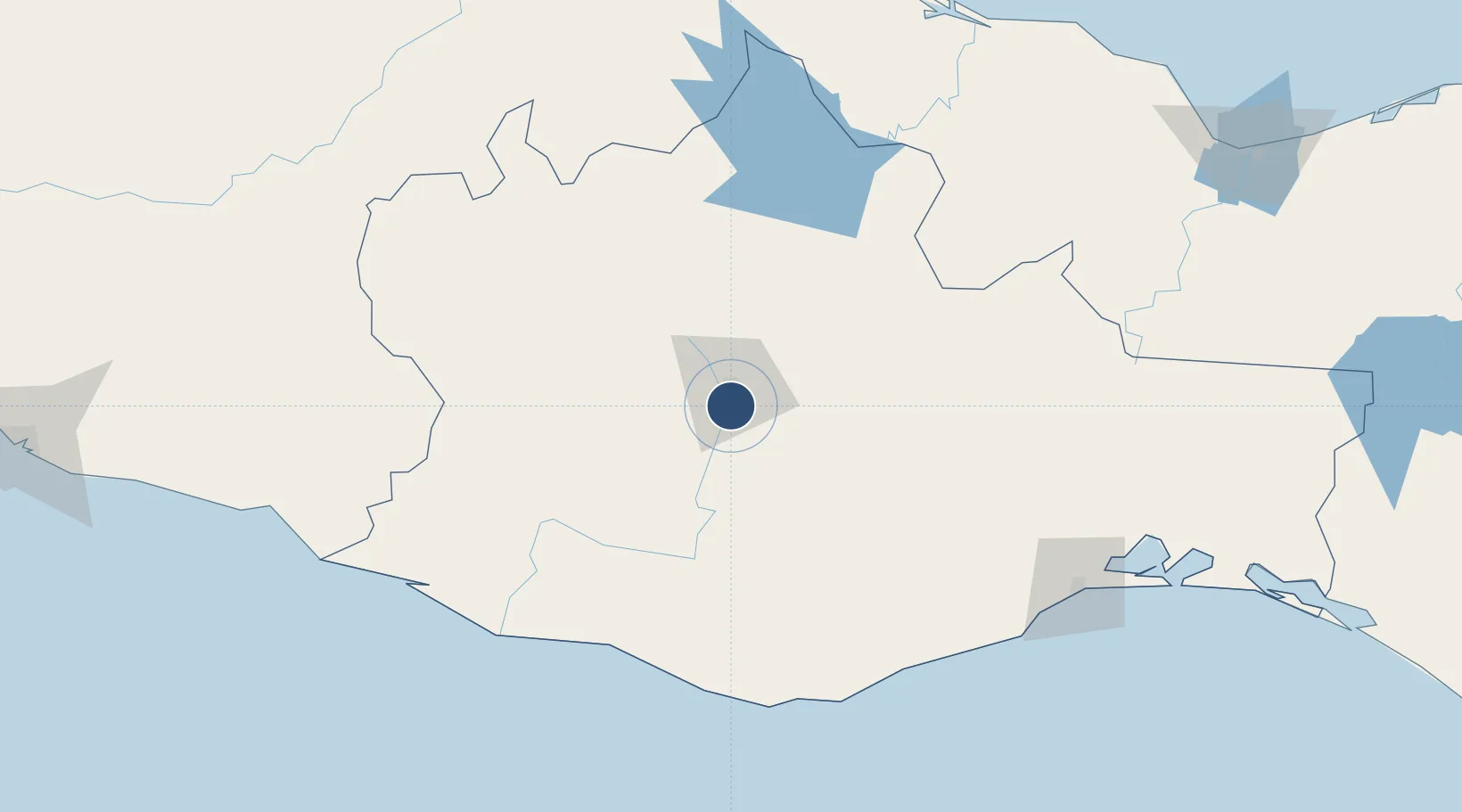
16.9988°, -96.7261°
8,038 ft
Longest runway
1
Runways
4,989 ft
Elevation
Runway & Layout

Radio Frequencies
TWR
118.3 MHz
OAXACA TWR
APP
121.1 MHz
OAXACA APP
Navaids
OAX VOR-DME Oaxaca 112.00 MHz
Runways · 1
| Runway | Dimensions | Surface | True heading | Lit |
|---|---|---|---|---|
| 01/19 | 8,038 × 148ft | Asphalt | 016° | ✓ |
Airport Specifications
IATA code
OAX
ICAO code
MMOX
Airport class
Large airport
Scheduled service
Yes
Runway surface
Asphalt
Served city
Oaxaca
Location
Nearby Logistics Neighbours
Airports
Cities
- 1Villa de Zaachila6 km
- 2Telixtlahuaca38 km
- 3Huatulco (Santa María Huatulco)137 km
- 4Puerto Ángel150 km
- 5Salina Cruz189 km
Ports
- 1Salina Cruz187 km
- 2Minatitlan248 km
- 3Veracruz253 km
- 4Nanchital272 km
- 5Coatzacoalcos276 km
DatabookThe Record of Consolidated Knowledge
Mexico beyond logistics?