UN/LOCODE hub · Mexico
MXPCM
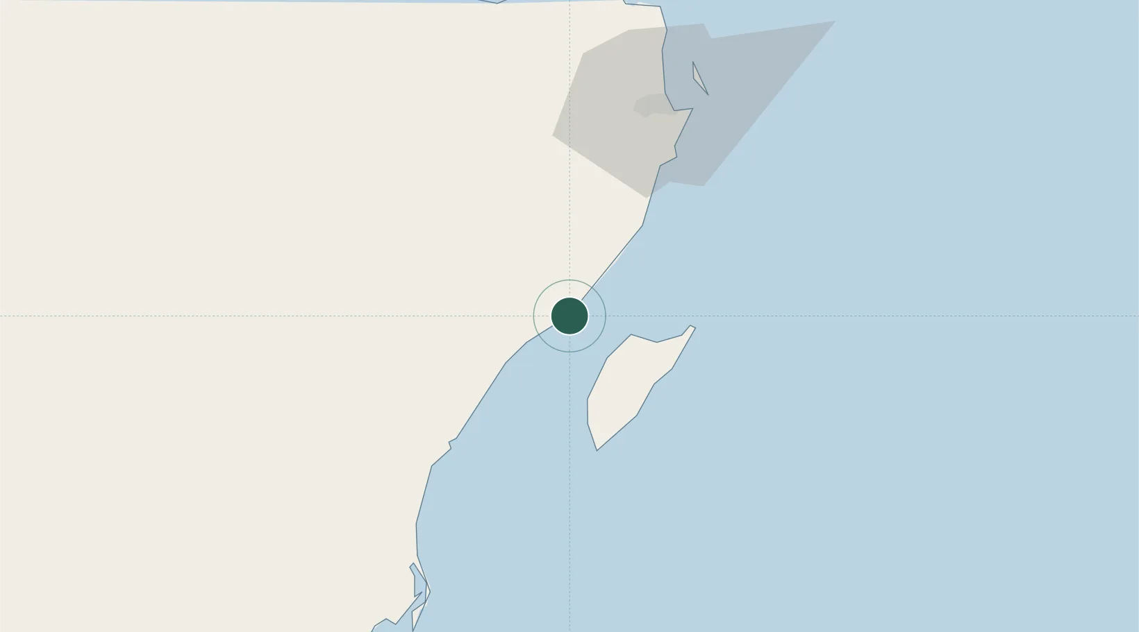
Playa del Carmen
20.6167°, -87.0667°
149,923
Population
2
Transport functions
Transport Functions
Port
Airport
Hub Profile
Place type
Populated place
Region
Quintana Roo
Population
149,923
Time zone
America/Cancun
Elevation
9 m
Location
Nearby Logistics Neighbours
Cities
- 1Solidaridad2 km
- 2Punta Venado13 km
- 3Cozumel18 km
- 4Puerto Morelos32 km
- 5Tixkokob246 km
Ports
- 1Punta Venado9 km
- 2San Miguel De Cozumel17 km
- 3Puerto Costa Maya219 km
- 4Progreso280 km
- 5Belize City366 km
Airports
Trade Zones
- 1Special Economic Zone of Chetumal268 km
- 2Corozol Free Zone275 km
- 3Special Economic Zone of Progreso278 km
- 4San Andres Export Processing Zone285 km
- 5Price Barracks366 km
DatabookThe Record of Consolidated Knowledge
Mexico beyond logistics?