Large airport · Mexico

Cozumel International AirportMMCZ
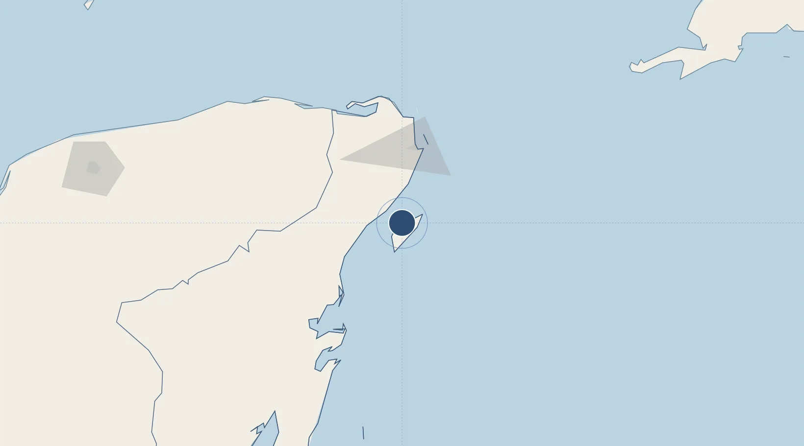
20.5149°, -86.9285°
8,858 ft
Longest runway
1
Runways
15 ft
Elevation

Runway & Layout

Cozumel International Airport runway & taxiway layout
Runway & taxiway layout — OpenStreetMap (ODbL) / OurAirports

Radio Frequencies

TWR
118 MHz
APP
120.4 MHz
CANCUN APP
DEP
119.8 MHz
CANCUN DEP
ARR
120.4 MHz
CANCUN ARR
OurAirports

Navaids

CZM VOR-DME Cozumel 112.60 MHz
CZM NDB Cozumel 330 kHz
OurAirports

Runways · 1

RunwayDimensions SurfaceTrue headingLit
12/30 8,858 × 148ft Asphalt 116°
OurAirports

Airport Specifications

IATA code
CZM
OurAirports
ICAO code
MMCZ
OurAirports
Airport class
Large airport
OurAirports
Scheduled service
Yes
OurAirports
Runway surface
Asphalt
OurAirports
Served city
Cozumel
OurAirports

Location

Location of MMCZ
Natural Earth 10m (public domain) · Quintana Roo · MMCZ · 20.51, -86.93GoogleOSMYandex

Nearby Logistics Neighbours

Airports
  1. 1Cancún International Airport59 km
  2. 2Felipe Carrillo Puerto International Airport Tulum85 km
  3. 3Chetumal International Airport267 km
  4. 4Sartaneja Airport271 km
  5. 5Corozal Airport284 km
Nearest neighbours — logibook spatial index (haversine) over the source coordinates
Cities
  1. 1Cozumel1 km
  2. 2Playa del Carmen18 km
  3. 3Solidaridad20 km
  4. 4Punta Venado23 km
  5. 5Puerto Morelos37 km
Nearest neighbours — logibook spatial index (haversine) over the source coordinates
Ports
  1. 1San Miguel De Cozumel4 km
  2. 2Punta Venado22 km
  3. 3Puerto Costa Maya213 km
  4. 4Progreso297 km
  5. 5Belize City360 km
Nearest neighbours — logibook spatial index (haversine) over the source coordinates
Trade Zones
  1. 1Special Economic Zone of Chetumal266 km
  2. 2Corozol Free Zone273 km
  3. 3San Andres Export Processing Zone283 km
  4. 4Special Economic Zone of Progreso294 km
  5. 5Price Barracks361 km
Nearest neighbours — logibook spatial index (haversine) over the source coordinates
DatabookThe Record of Consolidated Knowledge
Mexico beyond logistics?
Browse databook

All Sources

AirportsOurAirports
Public domain
Portsthe NGA World Port Index
Public domain (US gov)
LocationsUN/LOCODE
UN/LOCODE — free
Trade Zonesthe World Bank SEZ database
CC BY 4.0
Trade ZonesOpen Zone Map
CC BY
InfrastructureOpenStreetMap
ODbL 1.0
← Mexico airports