Large airport · Mexico
Felipe Carrillo Puerto International Airport TulumMMTL
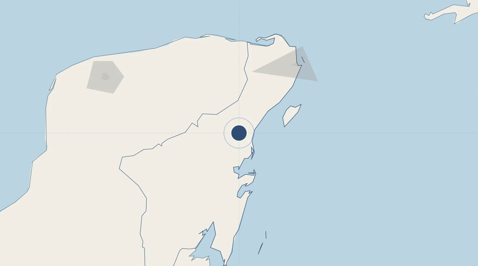
20.1721°, -87.6603°
12,139 ft
Longest runway
1
Runways
66 ft
Elevation
Runway & Layout

Runways · 1
| Runway | Dimensions | Surface | True heading | Lit |
|---|---|---|---|---|
| 12/30 | 12,139 × 148ft | Concrete | — | ✓ |
Airport Specifications
IATA code
TQO
ICAO code
MMTL
Airport class
Large airport
Scheduled service
Yes
Runway surface
Concrete
Served city
Tulum
Location
Nearby Logistics Neighbours
Airports
- 1Cozumel International Airport85 km
- 2Cancún International Airport127 km
- 3Chetumal International Airport198 km
- 4Sartaneja Airport208 km
- 5Corozal Airport214 km
Cities
- 1Punta Venado67 km
- 2Solidaridad78 km
- 3Playa del Carmen79 km
- 4Cozumel85 km
- 5Puerto Morelos110 km
Ports
- 1Punta Venado70 km
- 2San Miguel De Cozumel81 km
- 3Puerto Costa Maya160 km
- 4Progreso243 km
- 5Belize City302 km
Trade Zones
- 1Special Economic Zone of Chetumal198 km
- 2Corozol Free Zone203 km
- 3San Andres Export Processing Zone214 km
- 4Special Economic Zone of Progreso237 km
- 5Price Barracks300 km
DatabookThe Record of Consolidated Knowledge
Mexico beyond logistics?