Channel & Berth Profile
Pilotage, Tugs & Services
Pilotage compulsoryYES
Pilotage availableYES
Tug assistanceYES
Facilities & Capabilities
Container—
Ro-Ro—
Liquid bulk—
Dry bulkYES
Oil terminal—
Break bulkYES
Dry dock—
Repairs—
Bunkering—
Rail link—
Dangerous cargo—
ISPS security—
Harbour Specifications
Water body
Gulf of Mexico; North Atlantic Ocean
Pilotage
Yes
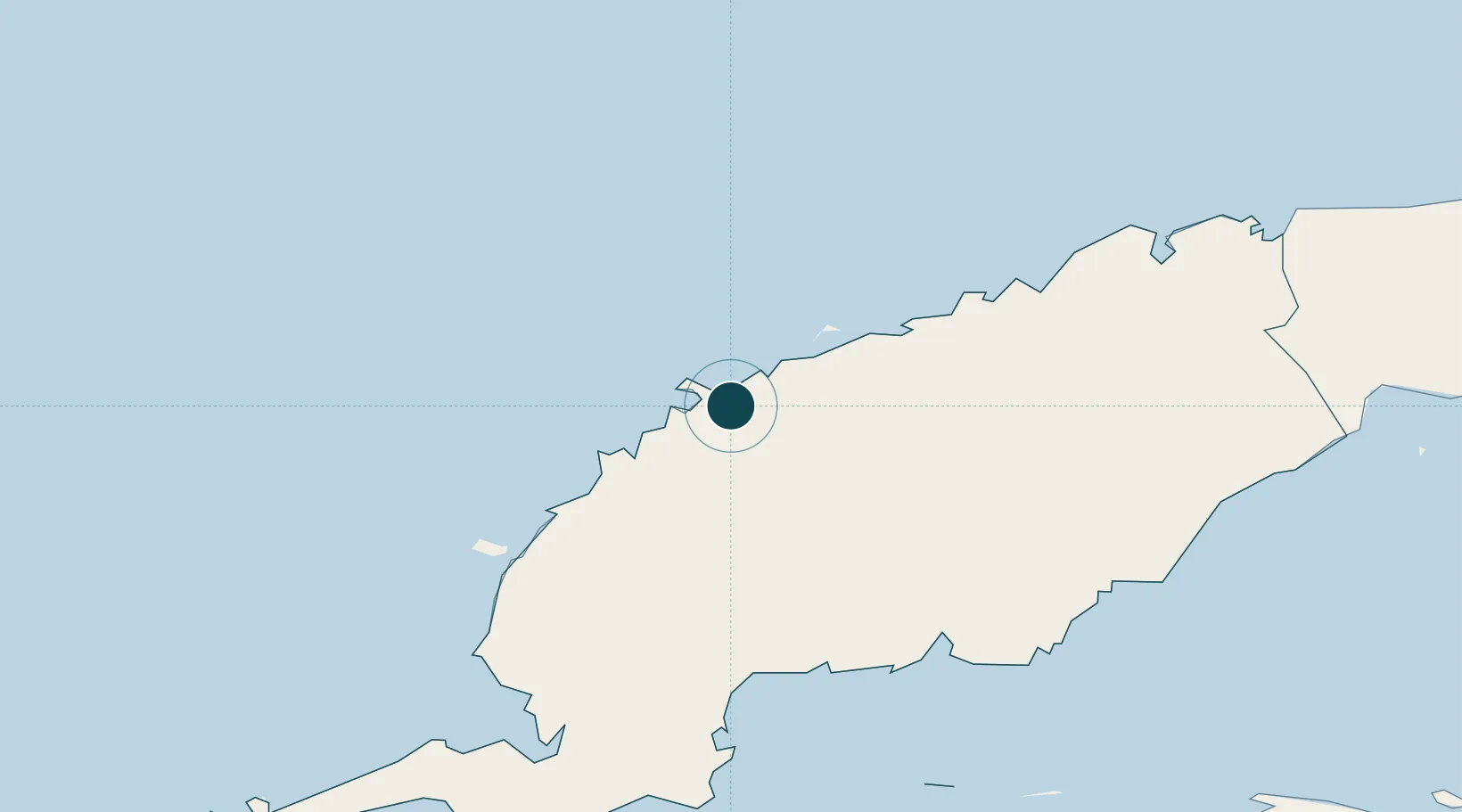
Location
Nearby Logistics Neighbours
Ports
- 1Bahia Honda89 km
- 2Cabanas109 km
- 3Mariel130 km
- 4Nueva Gerona146 km
- 5Bahai De La Habana172 km
Cities
- 1Bahía Honda86 km
- 2Cabañas113 km
- 3Mariel129 km
- 4La Habana174 km
- 5Cárdenas286 km
Airports
- 1San Julián Air Base66 km
- 2Playa Baracoa Airport148 km
- 3Rafael Cabrera Airport153 km
- 4Siguanea Airport154 km
- 5José Martí International Airport164 km
Trade Zones
- 1Mariel Special Development Zone127 km
- 2FTZ No. 281 Miami-Dade County459 km
- 3Cayman Enterprise City460 km
- 4FTZ No. 213 Fort Myers486 km
- 5FTZ No. 032 Miami508 km
DatabookThe Record of Consolidated Knowledge
Cuba beyond logistics?