Large airport · Mexico
Cancún International AirportMMUN
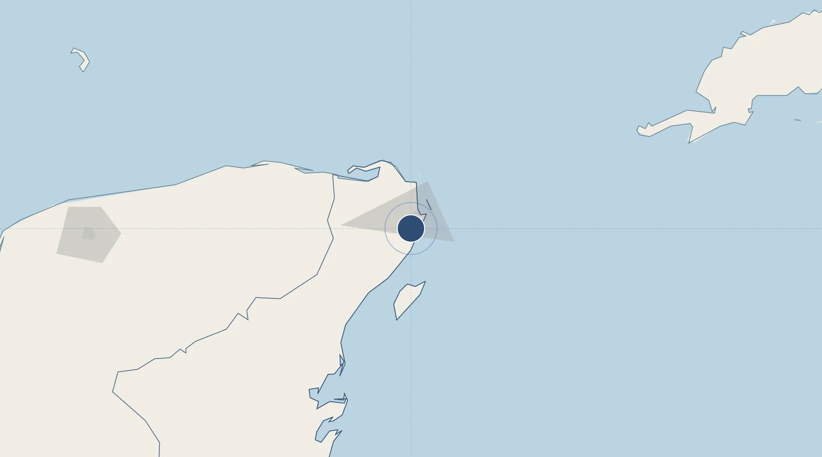
21.0408°, -86.8735°
11,483 ft
Longest runway
2
Runways
22 ft
Elevation
Runway & Layout

Radio Frequencies
ATIS
127.7 MHz
GND
121.7 MHz
CLD
122.1 MHz
CLNC DEL
APP
120.4 MHz
DEP
119.8 MHz
ARR
120.4 MHz
TWR North
118.1 MHz
Tower North
TWR S
118.6 MHz
Tower South
Navaids
CUN VOR-DME Cancun 113.60 MHz
Runways · 2
| Runway | Dimensions | Surface | True heading | Lit |
|---|---|---|---|---|
| 12R/30L | 11,483 × 197ft | Asphalt | 124° | ✓ |
| 12L/30R | 9,186 × 148ft | Asphalt | 124° | ✓ |
Airport Specifications
IATA code
CUN
ICAO code
MMUN
Airport class
Large airport
Scheduled service
Yes
Runway surface
Asphalt
Served city
Cancún
Location
Nearby Logistics Neighbours
Airports
Cities
- 1Puerto Morelos22 km
- 2Playa del Carmen51 km
- 3Solidaridad52 km
- 4Cozumel59 km
- 5Punta Venado63 km
Ports
- 1Punta Venado59 km
- 2San Miguel De Cozumel61 km
- 3Puerto Costa Maya270 km
- 4Progreso291 km
- 5Santa Lucia350 km
Trade Zones
- 1Special Economic Zone of Progreso291 km
- 2Special Economic Zone of Chetumal319 km
- 3Corozol Free Zone326 km
- 4San Andres Export Processing Zone336 km
- 5Price Barracks417 km
DatabookThe Record of Consolidated Knowledge
Mexico beyond logistics?