Transport Functions
Multimodal
Hub Profile
Place type
Provincial seat
Region
Yucatán
Population
10,968
Time zone
America/Merida
Elevation
11 m
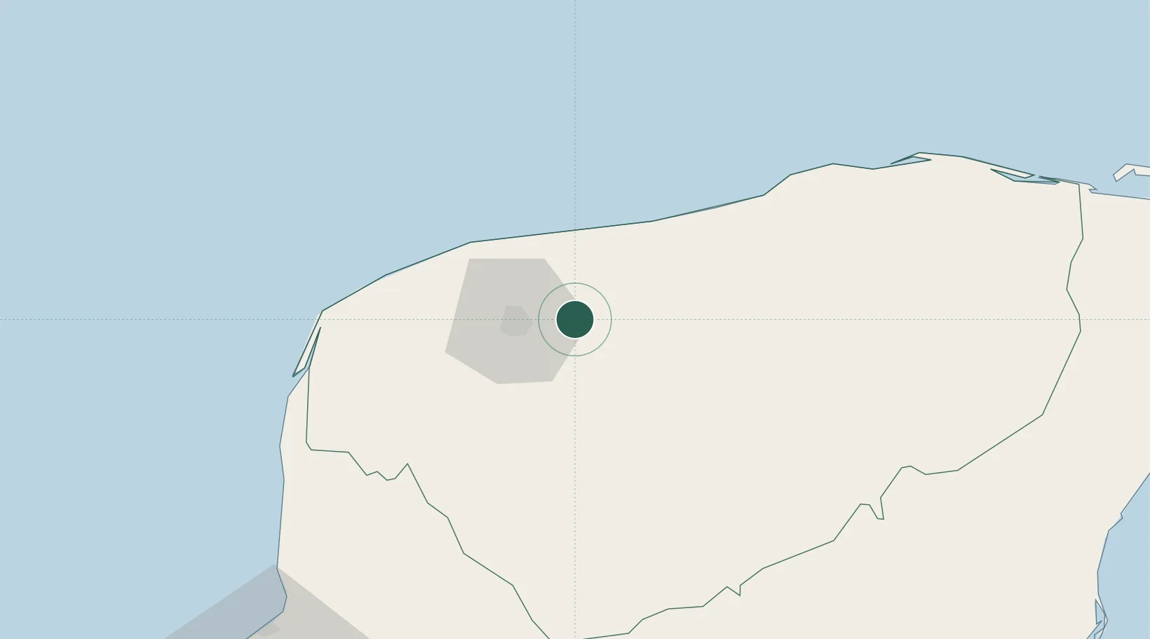
Location
Nearby Logistics Neighbours
Cities
- 1Mérida23 km
- 2Progreso41 km
- 3Hunucmá43 km
- 4Tenabó137 km
- 5Seybaplaya202 km
Ports
- 1Progreso42 km
- 2Campeche175 km
- 3Punta Venado241 km
- 4San Miguel De Cozumel259 km
- 5Cayo Arcas Terminal284 km
Airports
Trade Zones
DatabookThe Record of Consolidated Knowledge
Mexico beyond logistics?