UN/LOCODE hub · Mexico
MXAZA

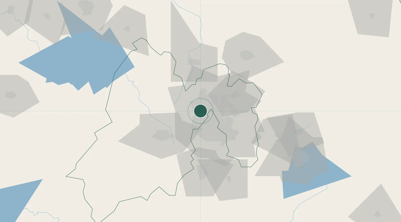
Atizapan de Zaragoza

19.5500°, -99.2333°
368
Population
1
Transport functions

Transport Functions

Multimodal
UN/LOCODE

Hub Profile

Place type
Populated place
GeoNames
Region
Tamaulipas
GeoNames
Population
368
GeoNames
Time zone
America/Monterrey
GeoNames
Elevation
71 m
GeoNames

Location

Location of MXAZA
Natural Earth 10m (public domain) · Tamaulipas · MXAZA · 19.55, -99.23GoogleOSMYandex

Nearby Logistics Neighbours

Cities
  1. 1Tlalnepantla de Baz6 km
  2. 2Azcapotzalco8 km
  3. 3Ciudad de México10 km
  4. 4Villa Nicolás Romero12 km
  5. 5Xalostoc16 km
Nearest neighbours — logibook spatial index (haversine) over the source coordinates
Ports
  1. 1Tuxpan247 km
  2. 2Acapulco309 km
  3. 3Veracruz328 km
  4. 4Tampico329 km
  5. 5Altamira356 km
Nearest neighbours — logibook spatial index (haversine) over the source coordinates
Airports
  1. 1Helipuerto VZ Flights14 km
  2. 2Helipuerto El Universal16 km
  3. 3Mexico City Benito Juárez International Airport21 km
  4. 4Helipuerto Ciudad de México22 km
  5. 5Felipe Ángeles International Airport31 km
Nearest neighbours — logibook spatial index (haversine) over the source coordinates
Trade Zones
  1. 1The Special Economic Zone of Lázaro Cárdenas - La Unión358 km
  2. 2Special Economic Zone of Coatzacoalcos523 km
  3. 3Special Economic Zone of Salina Cruz566 km
  4. 4Zona Economica Especial de Tabasco641 km
  5. 5FTZ No. 062 Brownsville736 km
Nearest neighbours — logibook spatial index (haversine) over the source coordinates
DatabookThe Record of Consolidated Knowledge
Mexico beyond logistics?
Browse databook

All Sources

LocationsUN/LOCODE
UN/LOCODE — free
LocationsGeoNames
CC BY 4.0
Portsthe NGA World Port Index
Public domain (US gov)
AirportsOurAirports
Public domain
Trade Zonesthe World Bank SEZ database
CC BY 4.0
Trade ZonesOpen Zone Map
CC BY
← Mexico locations