UN/LOCODE hub · Mexico
MXCSG
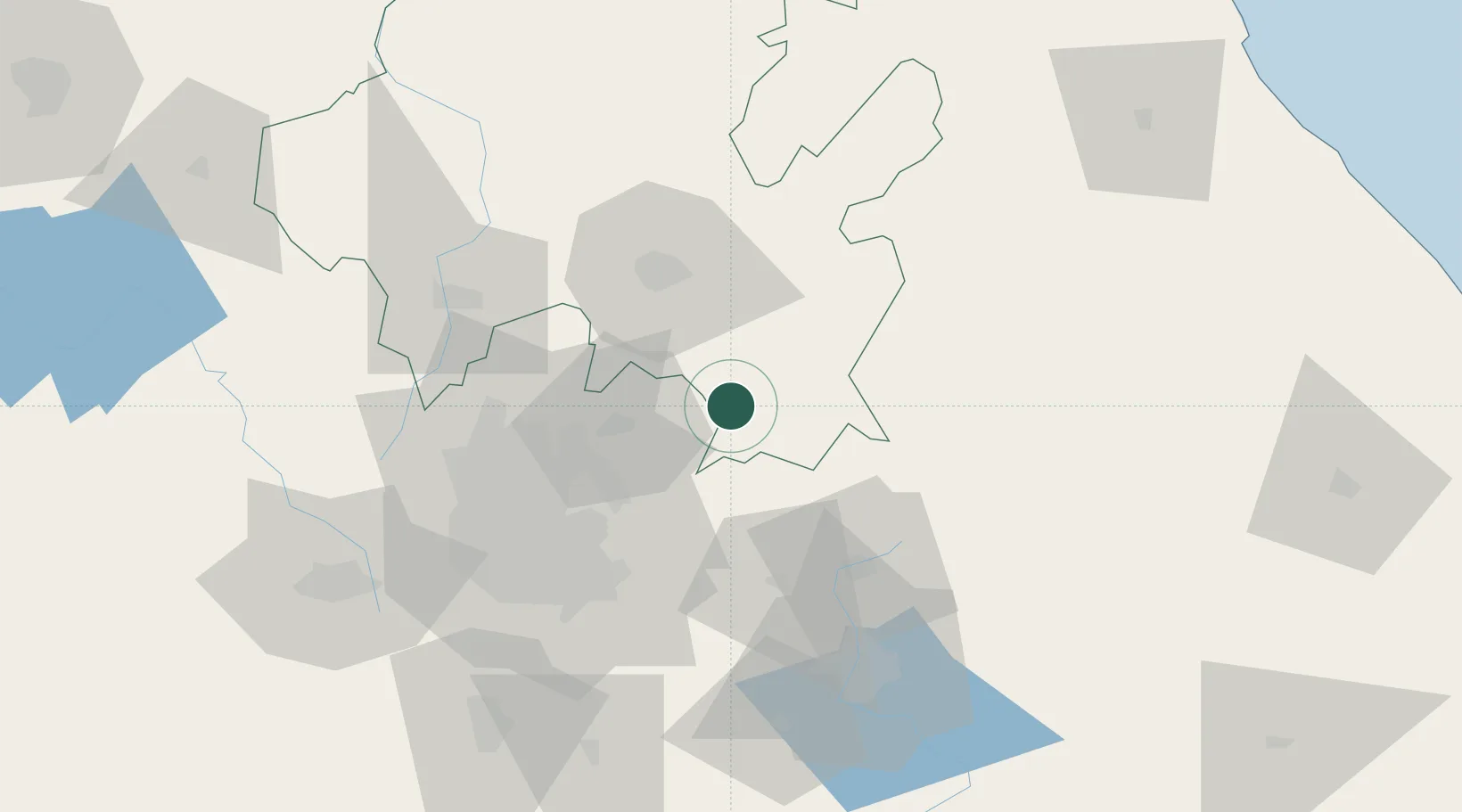
Ciudad Sahagún
19.7667°, -98.5667°
28,609
Population
4
Transport functions
Transport Functions
Port
Rail
Road
Multimodal
Hub Profile
Place type
Populated place
Region
Hidalgo
Population
28,609
Time zone
America/Mexico_City
Elevation
2,455 m
Location
Nearby Logistics Neighbours
Cities
- 1Jaltepec8 km
- 2Acolman40 km
- 3Cuautepec de Hinojosa41 km
- 4Tulancingo41 km
- 5Tecamac42 km
Airports
DatabookThe Record of Consolidated Knowledge
Mexico beyond logistics?