Transport Functions
Road
Multimodal
Hub Profile
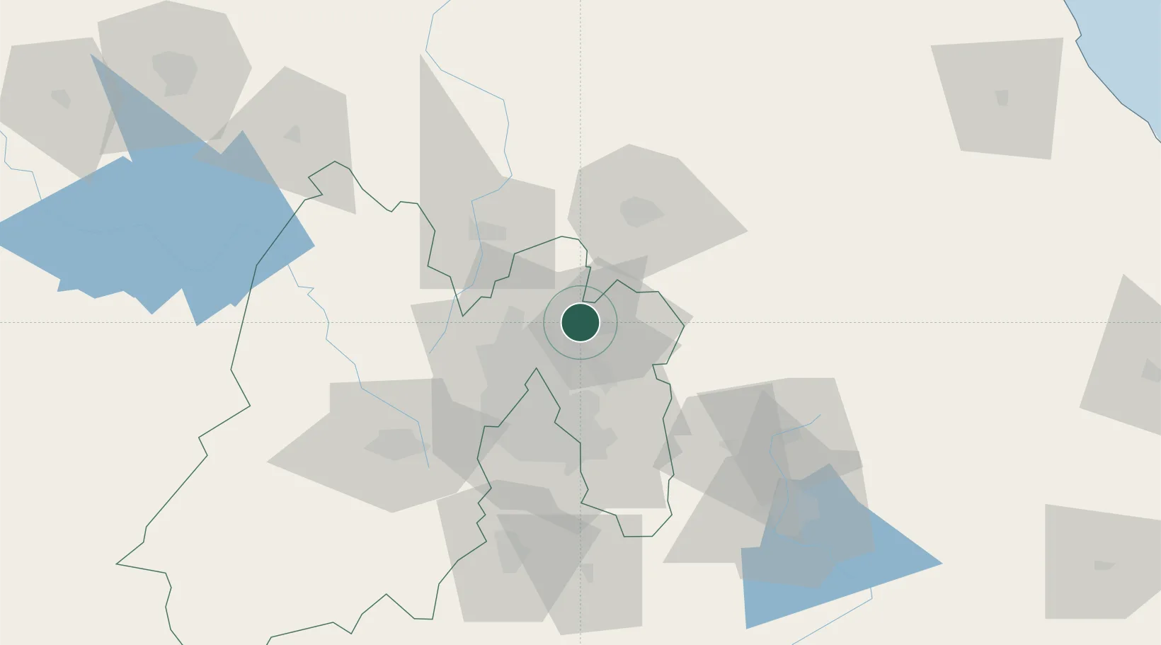
Place type
Provincial seat
Region
México
Population
15,244
Time zone
America/Mexico_City
Elevation
2,279 m
Location
Nearby Logistics Neighbours
Cities
- 1Acolman14 km
- 2Ecatepec17 km
- 3Chiconcuac22 km
- 4Teoloyucan23 km
- 5Santa Clara Coatitla25 km
Airports
DatabookThe Record of Consolidated Knowledge
Mexico beyond logistics?