Transport Functions
Rail
Multimodal
Hub Profile
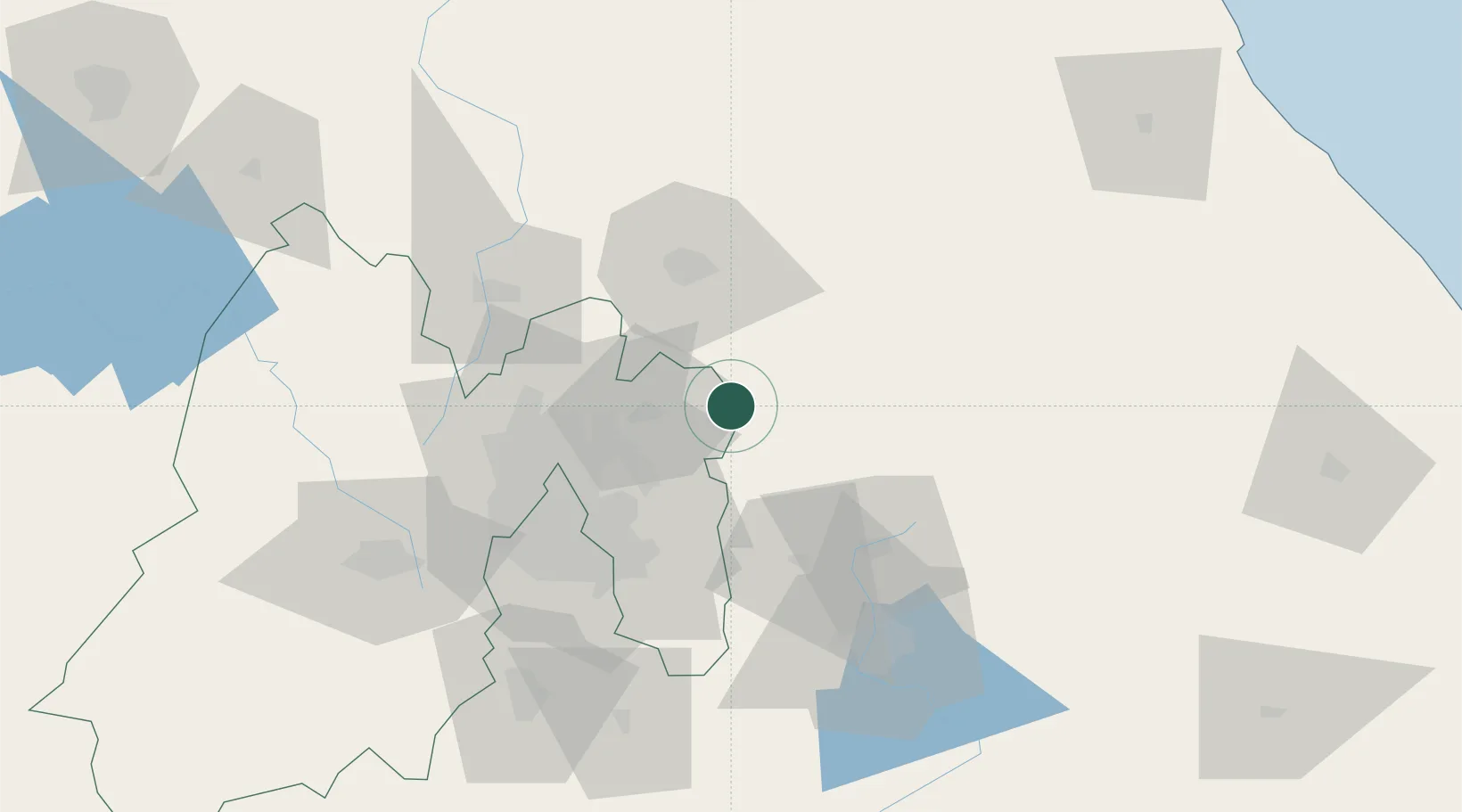
Place type
Populated place
Region
México
Population
5,001
Time zone
America/Mexico_City
Elevation
2,539 m
Location
Nearby Logistics Neighbours
Cities
- 1Ciudad Sahagún8 km
- 2Acolman32 km
- 3Chiconcuac35 km
- 4Tecamac35 km
- 5Ecatepec46 km
Airports
DatabookThe Record of Consolidated Knowledge
Mexico beyond logistics?